ACMG Mountain Conditions Report Summary for the Rockies and Columbia Mountains issued August 25 2016
Sadly, there are already signs of autumn approaching in Canmore with a few trees already turning!
It looks like another challenging weekend of weather and conditions for mountain enthusiasts in the Rockies and Columbia Mountains.
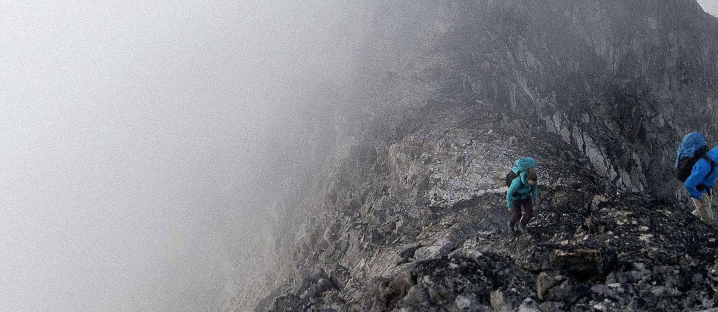
This past Monday saw up to 20 cm of new snow fall above 2500 m across both ranges. This is gone on most aspects but the cool unsettled weather this week has likely preserved this snow on higher, northerly aspects. There have also been reports of this snow lingering on some glaciers making travel and crevasse assessment challenging.
Getting around in some areas like the Bugaboos is starting to get quite difficult with glaciers becoming open and bare as well as significant rockfall due to the warm temperatures from last week. I observed (thankfully from a distance) a large rockfall in the Bugaboo – Snowpatch col at 09:30 am a few days ago.
Looking at several different weather models, it seems that there is no consensus for this weekend's forecast yet. At the moment it looks like things will be a bit drier to the east (Bow Valley) and consistently getting wetter as you move west across the Columbias towards Revelstoke. Freezing levels are forecast to be at or just below 3000 m so we can expect further snowfall up high in the next few days.
I'll be keeping a close eye on the forecast today and tomorrow in case some consensus develops between the various models. No matter what, I’ll be packing lots of warm clothes!
Have fun,
Marc Piché
ACMG Mountain Guide