Module 2 of the 2026 AG Exam took place in the Gold Range of the Monashees between August 17-20. Weather through the week was good, with mainly clear skies and some scattered clouds, and no precip. While smoke was present from a nearby fire to the west, it was notably less smoky in the alpine than in the Columbia Valley bottom. Minimal afternoon convective buildup was observed.
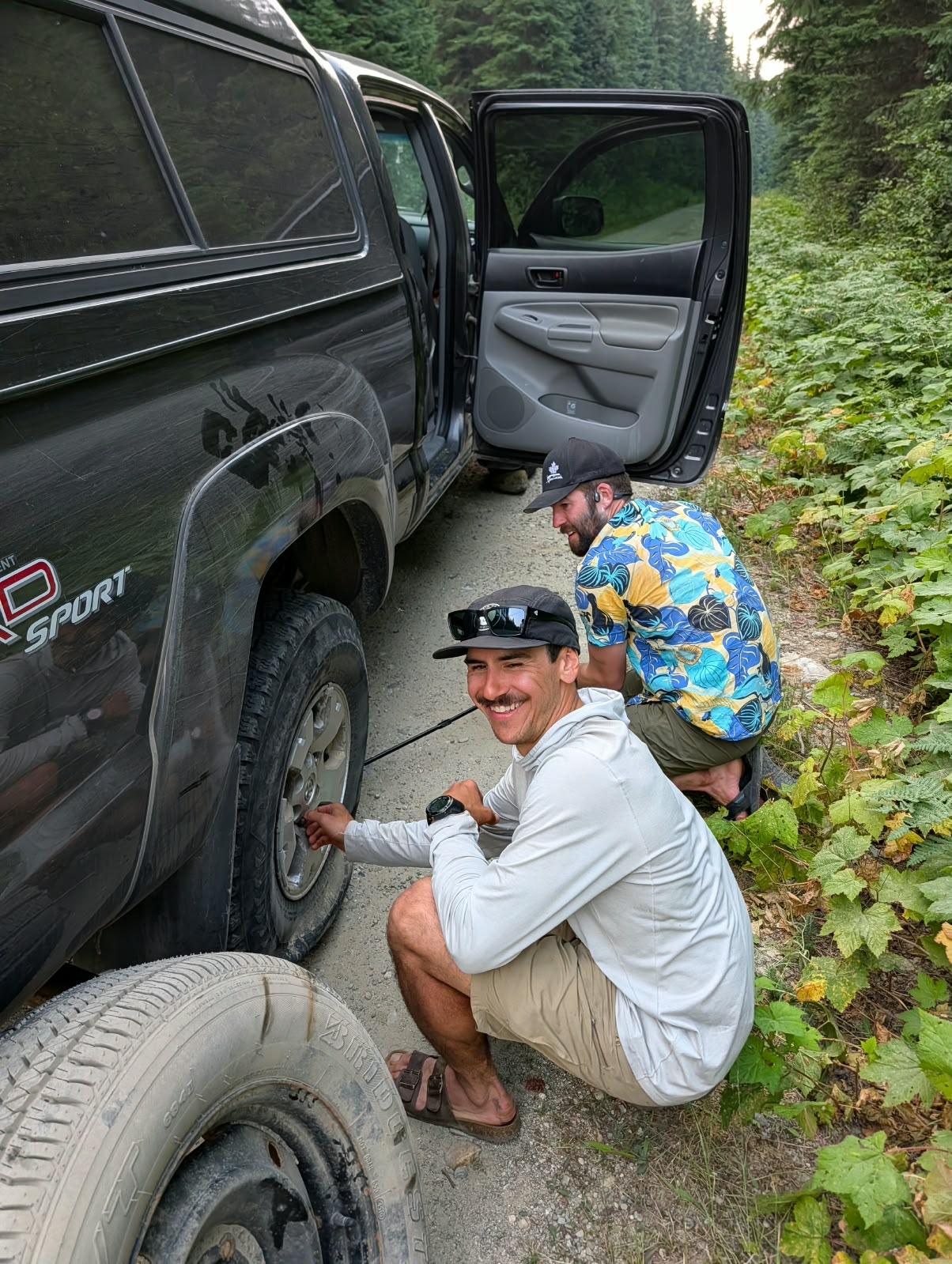
We flew into the Frigg Cirque of the Gold Range on August 17th from Revelstoke and a staging on the Pingston Creek FSR. No logging activity was observed on the roads, and while we had a couple flats on the way out the road was in decent shape with no high clearance vehicle required.
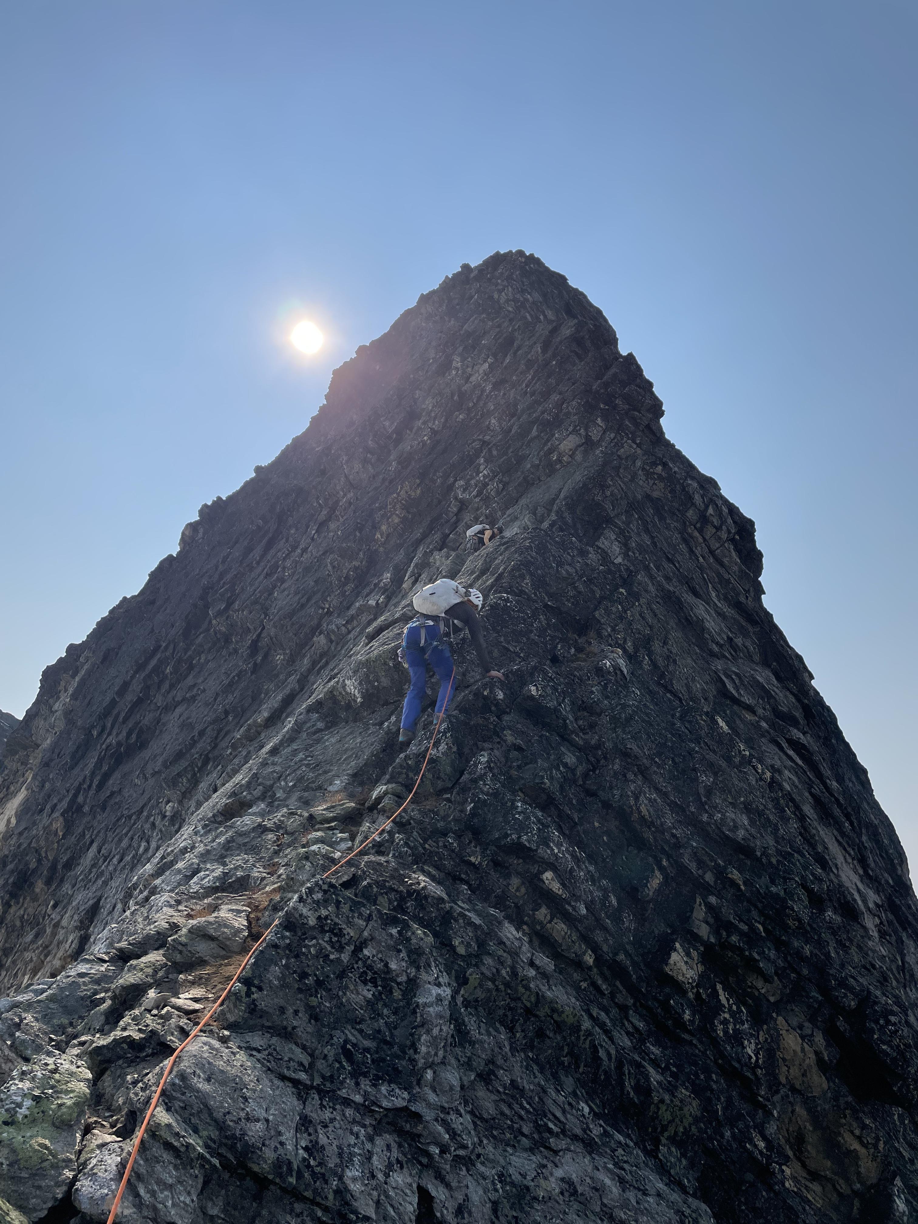
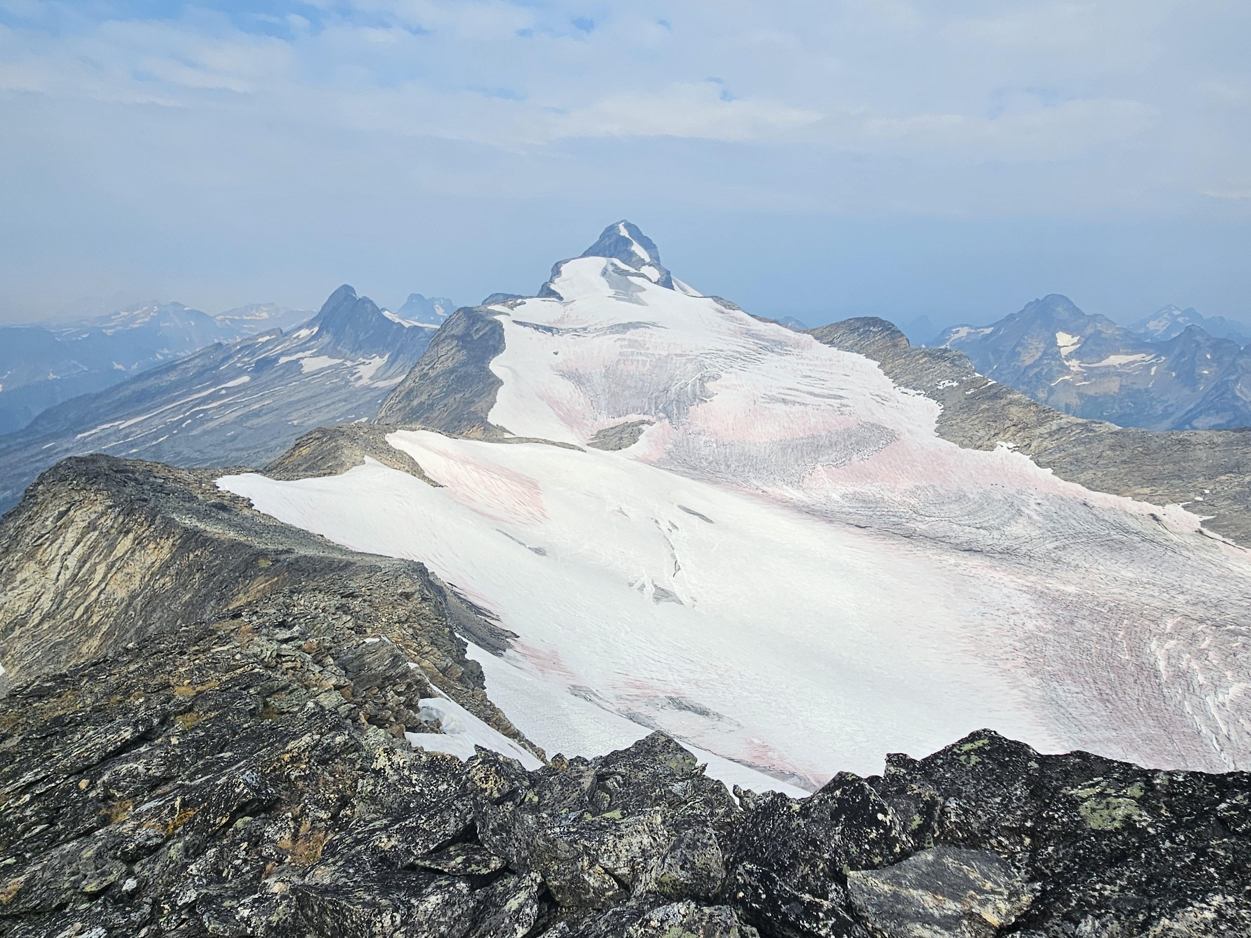
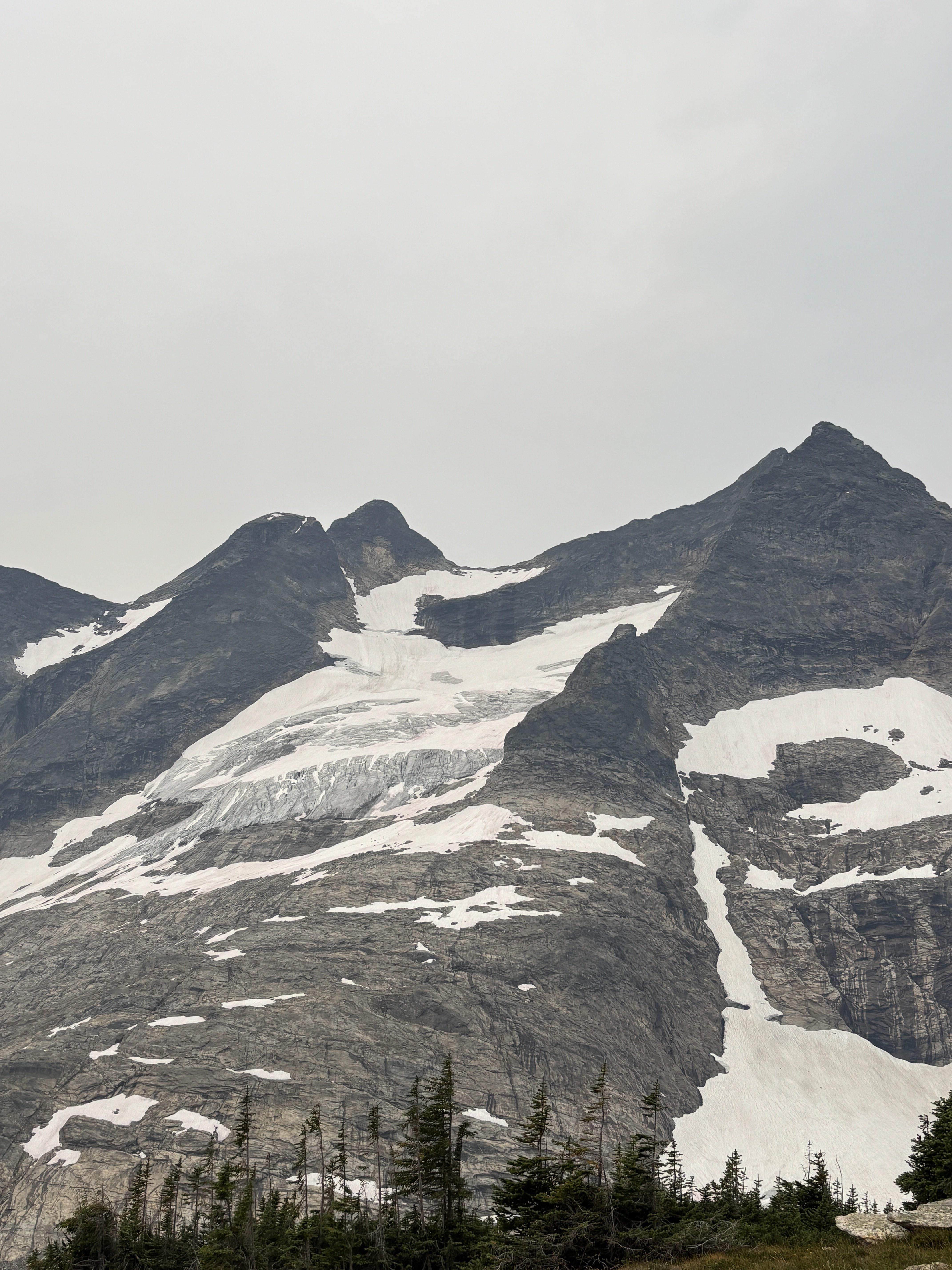
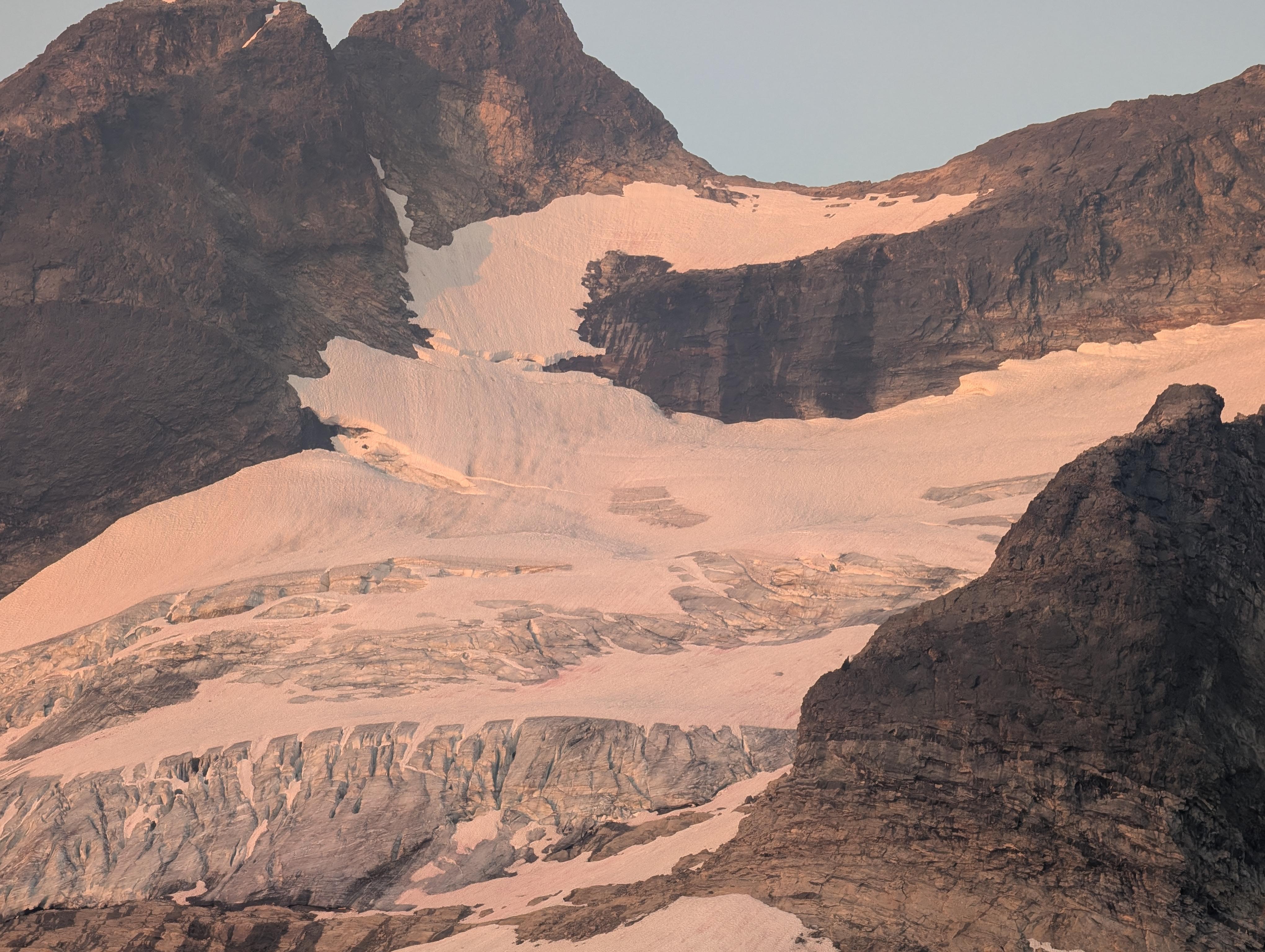
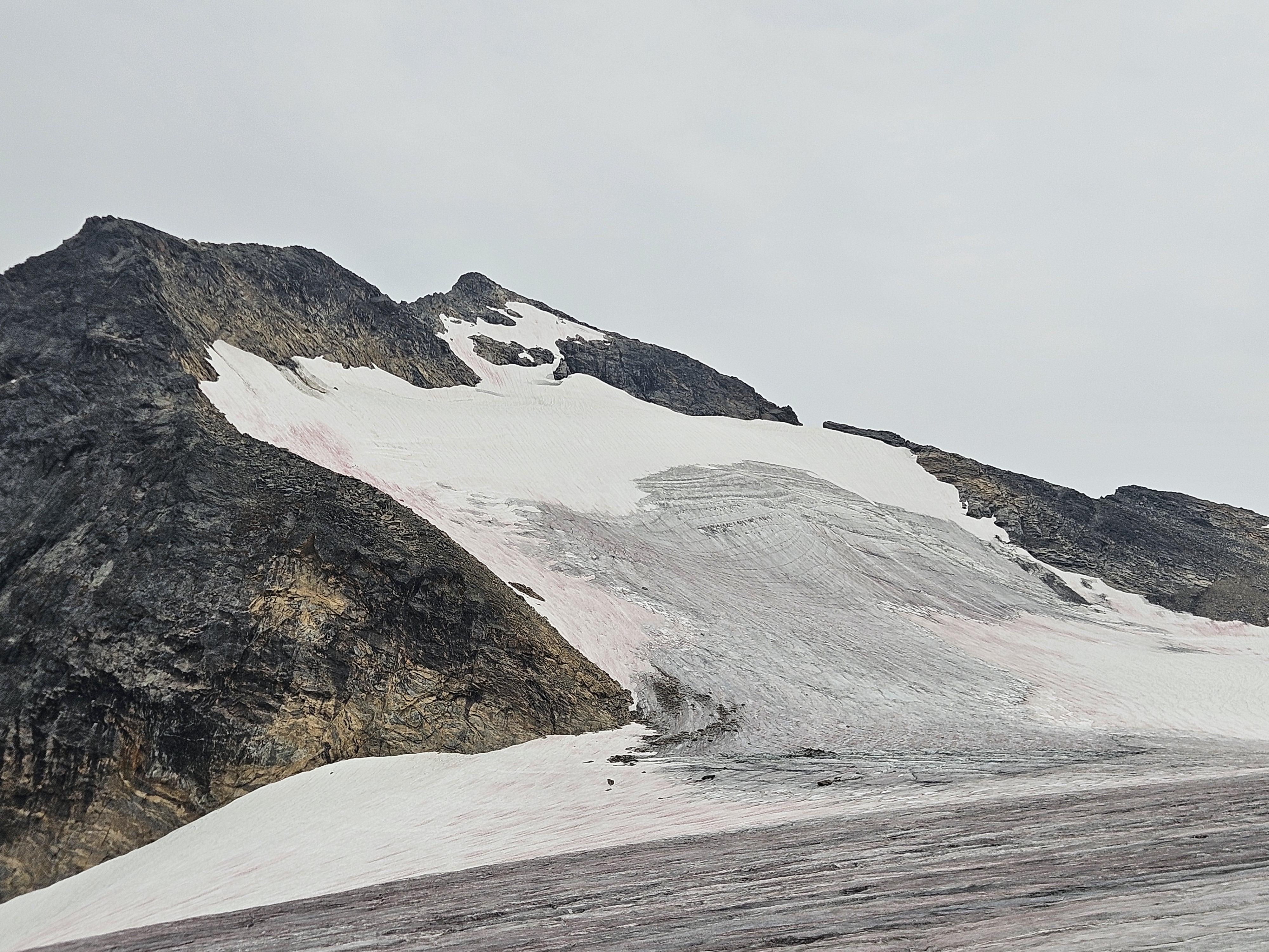
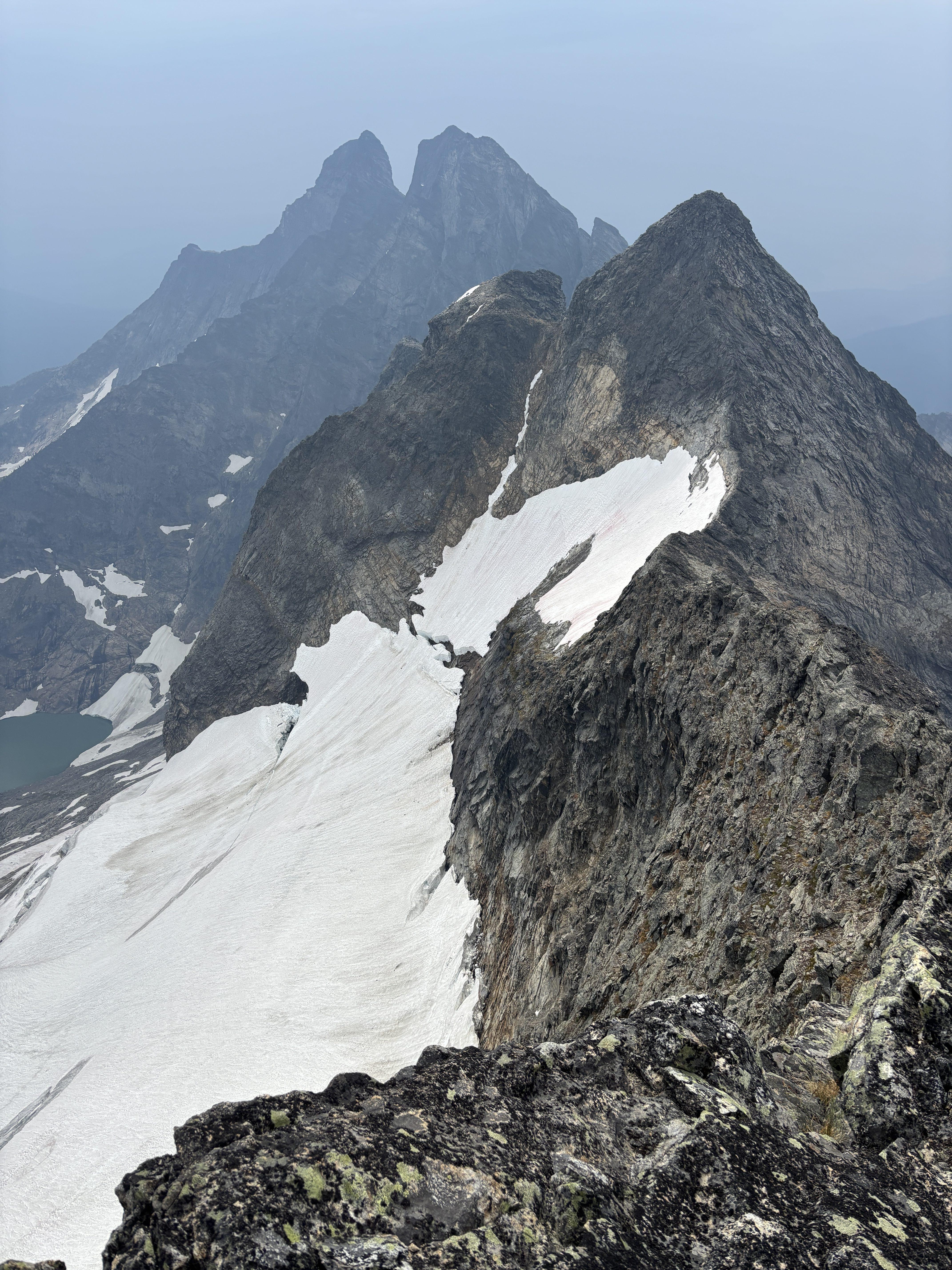
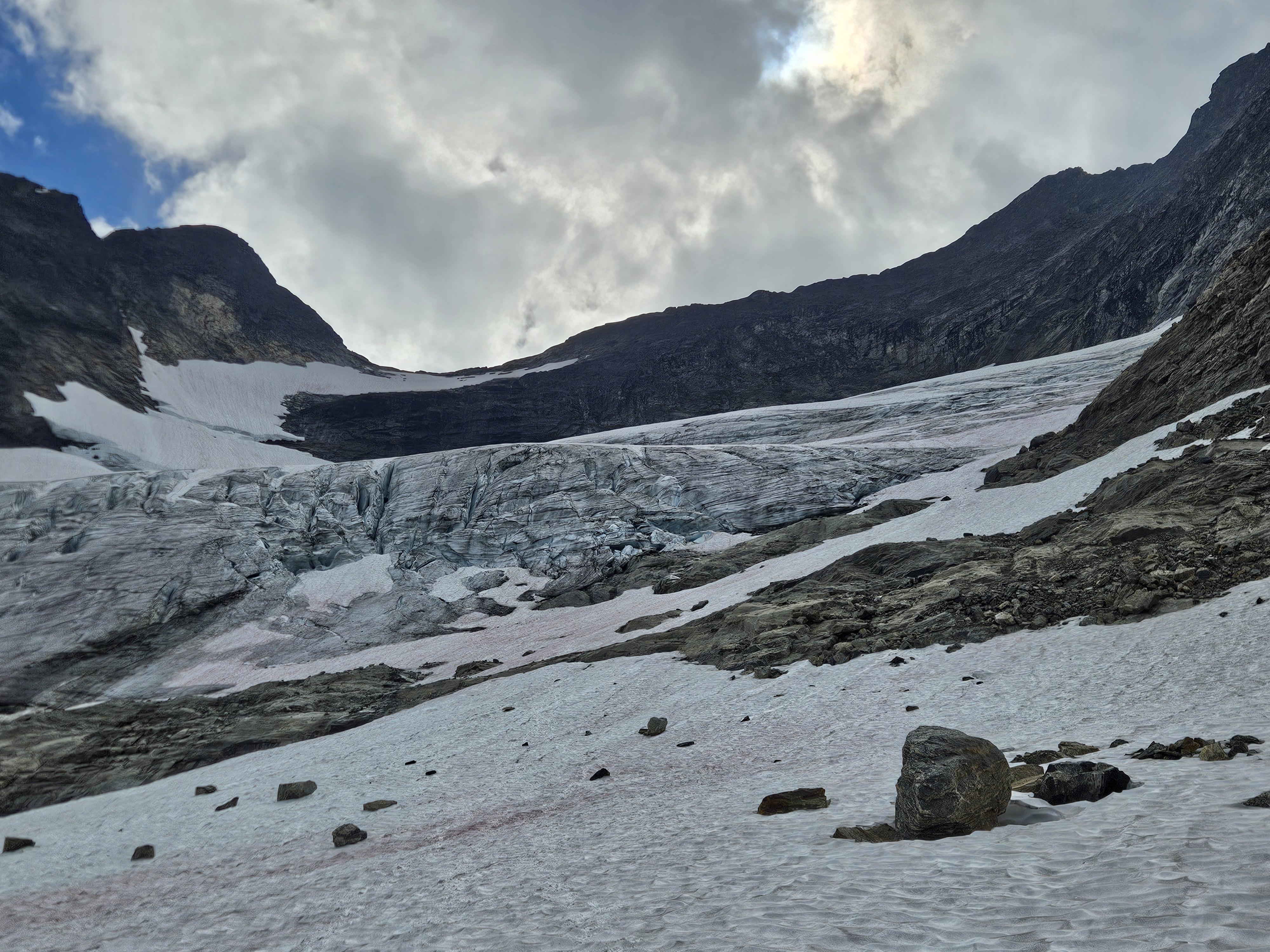
Groups climbed Mt Mjolnir via the East Ridge, the Angry Ptarmigan traverse to the east ridge of Mt Odin; Mt Hugin via the Northeast Ridge and North Face, and Mt Munin via the Northwest Ridge. We also traveled on the Frigg Glacier and Raven's Descent down the Munin Glacier.
Snow line in the area is between 2400-2600m depending on aspect. The snowpack is well settled and in good travel conditions; where snow plugs are present they are generally supportive through the day. Ridges are in reasonably good shape with expected amounts of loose rock on otherwise good blocky gneiss. With more travel, and lichen and loose chunks being cleaned off, these routes would clean up very well. We fixed up rappel anchors to descend Hugin and Munin.
Due to generally loose alpine rock and some massive teetering blocks, we would tend to recommend ridge climbs over face routes in this area. A recreational party was rescued off the Goldilocks Traverse on Mt Munin on August 20th after a large rock tumbled and caused injury.
There was a moderate amount of natural rockfall later in the week with increased warming; notably off the south side of the Hugin NE Ridge that came down the north edge of the Raven's Descent. We avoided the far skiers left of that glacier and rappelled ice further to the right.
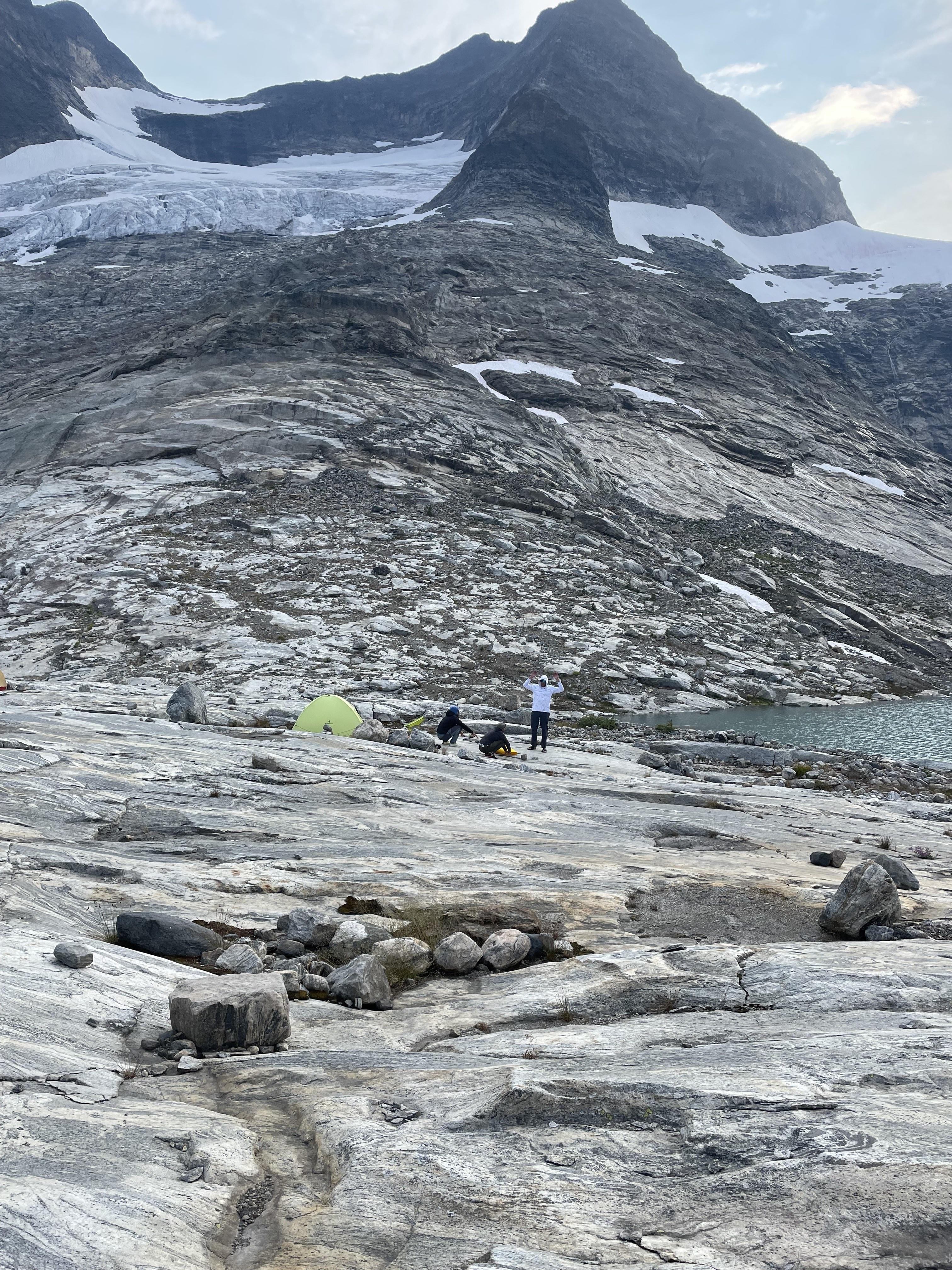
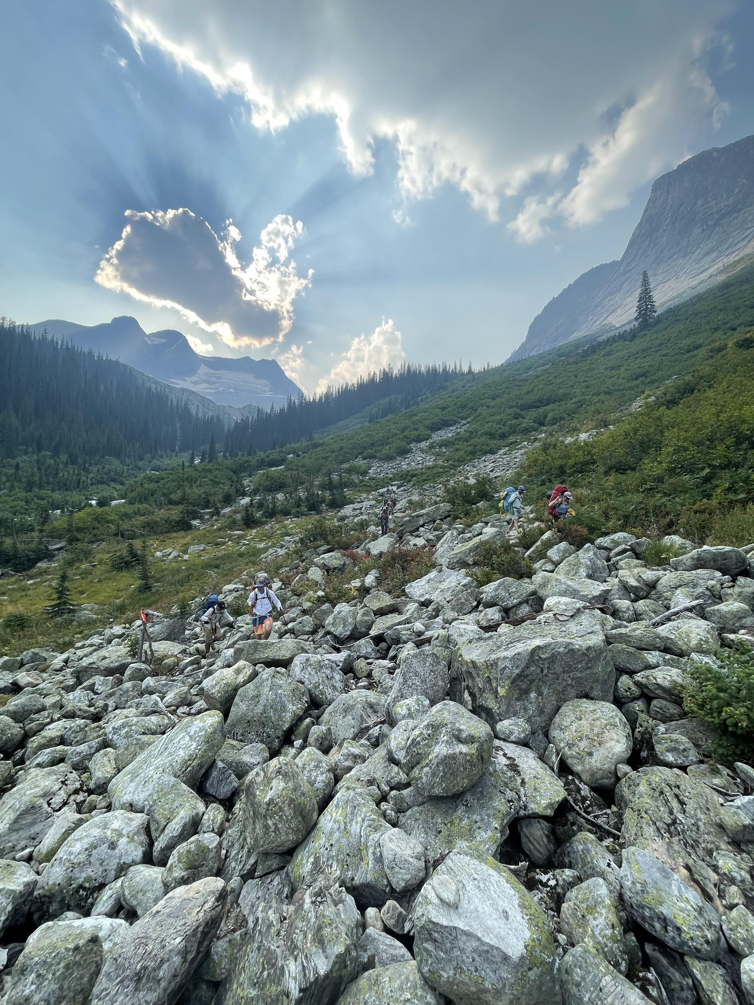
The group hiked out on the 20th via alpine meadows from our camp at the upper Frigg tarn to Mooncastle Lake and then down to the main drainage; we were able to pick up a well flagged trail north of the creek that took us down to the Pingston FSR. The trail is well established but steep and crumbly, and would likely take a fit party 3-4 hours to ascend with a heavy pack.
Nick Baggaley, on behalf of the 2026 Alpine Guide candidates and examiners