ACMG Mountain Conditions Summary for the Rockies and Columbia Mountains. June 4, 2021
WEATHER
The past few days have been very hot with high freezing levels and little to no overnight crust recovery in the alpine. River and creek levels are way up as a result. The snowline is still down into treeline on north aspects in the Rockies and Columbia's. Steep south facing terrain at treeline and above is melting back quickly but expect snow patches at higher elevations.
The weekend forecast is for a cooling trend with the possibility of thunder showers, rain showers and unsettled conditions leading into next week.
HAZARDS
Rockfall continues to be a concern as the snow melts and rocks loosened by freeze-thaw cycles during the winter start sliding. This freeze-thaw process can also lead to loose holds on rock routes so test your holds carefully, wear a helmet and belay from protected spots. Keep in mind the melting that may be occurring on snow patches way above you while cragging or alpine climbing.
Crevasses remain generally well bridged, however the warmth of the past week is just starting to have an effect on lower elevation glaciers with the snowpack thinning and some crevasse bridges starting to sag. Continue to use good glacier travel practices as the summer approaches and the snowpack starts to shrink. Keep the rope snug and assume that bridges might be weaker later in the day as the warmth penetrates the snowpack.
Avalanches continue to be a concern with a sad incident on Mt Andromeda last week serving as a stark reminder about the uncertainty that can be present in the snowpack. The front ranges of the Rockies have seen several large deep avalanches as a result of the last few days of heat, and numerous wet loose avalanches have been observed throughout the Rockies and Columbia's. The cooler weather starting this weekend should reduce the likelihood of avalanche but cloudy skies could minimize the over night crust recovery. Monitor the influence of heat on the snowpack very carefully over the next few days. Start early, watch for sun on the slopes above you, and have a plan B ready if the snowpack hasn't frozen enough for your objective.
Rivers and creeks are currently flowing at high levels creating potential for tricky crossings to access climbs, scrambles and ski areas.
WHAT TO DO?
With a more unsettled forecast for the Rockies and North Columbia this weekend it will be good to have a couple choices to fall back on. The weather looks a little better in the South Columbia area but remember to check current travel restrictions before heading out.
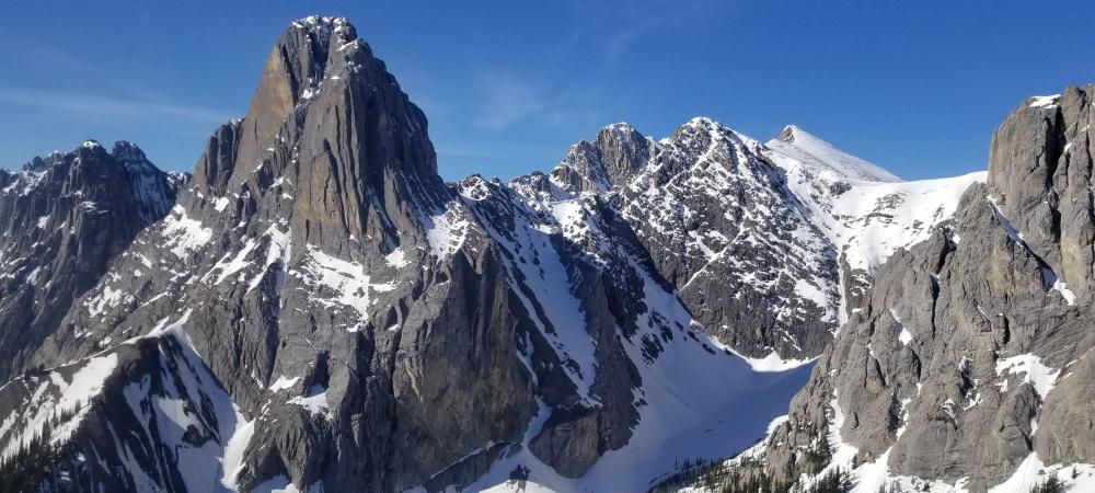
Alpine snow and ice climbing may be ok if the cooler weather has enough impact to freeze things in place. Reports of groups starting to check out south facing alpine rock ridges in Roger's Pass and Mt Gimli are also trickling in, though substantial snow travel is still required to reach the bases of the climbs. In the Rockies the front ranges have dried out a lot in the past week with routes like the Fold in decent shape. Further toward the divide snow patches are still present on most objectives like Mt Louis, Castle with rockfall concerns as a result.
Ski choices are starting to narrow with runnels showing up on many steep alpine slopes, and run out zones beginning to melt back exposing rocks and bergshrunds. Having said that, the cooler temperatures should make for decent travel up high on the glaciers if you don't mind starting with a longish walk and have a tolerance for sticky skiing on the way down if it warms up. Still good access to the Columbia Icefields as of a few days ago.
Lower elevation and south facing rock climbing continue to be excellent in the Columbia's where summer is further along, and in the front ranges of the Rockies. This may be the best choice for the weekend with the option to switch plans quickly as the weather changes, and get ready for the main summer season.
Conrad Janzen
ACMG Mountain Guide