I have had the pleasure to be cat assisted ski touring in the Kitchen Range of the Western Rockies over the past 3 weeks.
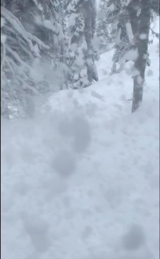
Overall the weather and ski conditions have been excellent coupled with relatively friendly low hazard snow pack. That all changed overnight and into this morning as we received close to 50cm of snow over the past 30 hours and likely more at higher elevations that we have not had an opportunity to visit.
All this new snow has fallen on a what is now called the Dec. 7th weak layer. It is made up of surface hoar that was as big as 30mm. This surface hoar is sitting atop a sun-crust on steep solar aspects and generally gets bigger the closer You get to valley bottom. The new snow was also observed to be overlying a 10cm thick windslab with faceted (weak) crystals underneath it on shady tree-line and ridge top alpine features.
We experienced some whumphing and propagation in the cut blocks below tree line that contained the sun-crust and surface hoar problem today. These occurrences were at 1800m in elevation 45cm deep. They were isolated to small steep slopes as the new snow did not contain sufficient slab properties at the time. We primarily travelled in mature forest and moderate angle supported terrain where the ski conditions were excellent. We only observed below tree line today given the conditions but we are betting it is a far more hazardous world above tree line and in the alpine where winds and higher snow amounts are likely to be producing a natural avalanche cycle.
Currently it is still snowing and the temperature at 1600m is 0 degree celsius. Perfect conditions for the new snow to settle into a more cohesive slab.
Careful terrain assessment and snowpack evaluation will be needed for safe backcountry travel over the coming days.
Darek Glowacki
Larry Stanier

