Hi all,
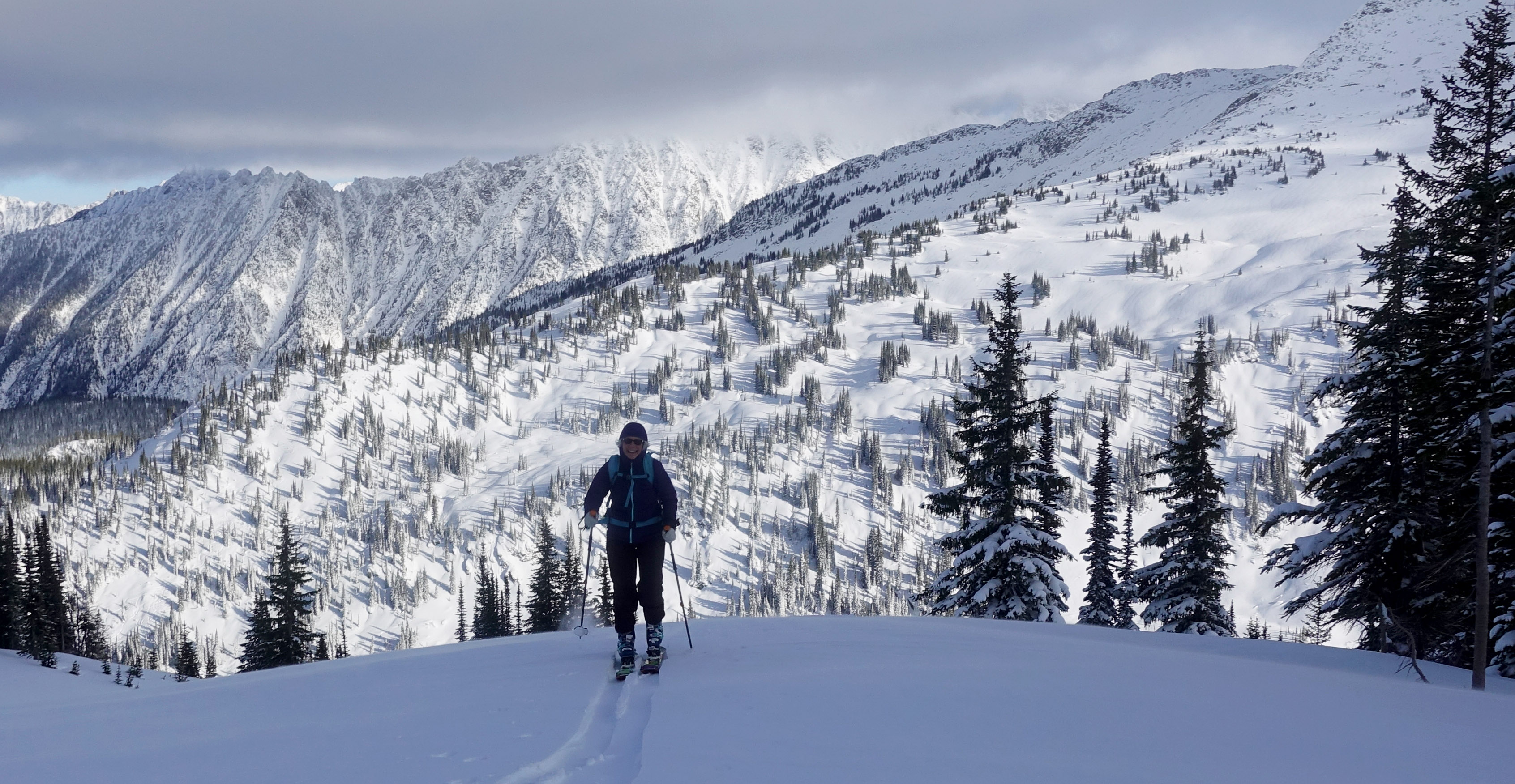
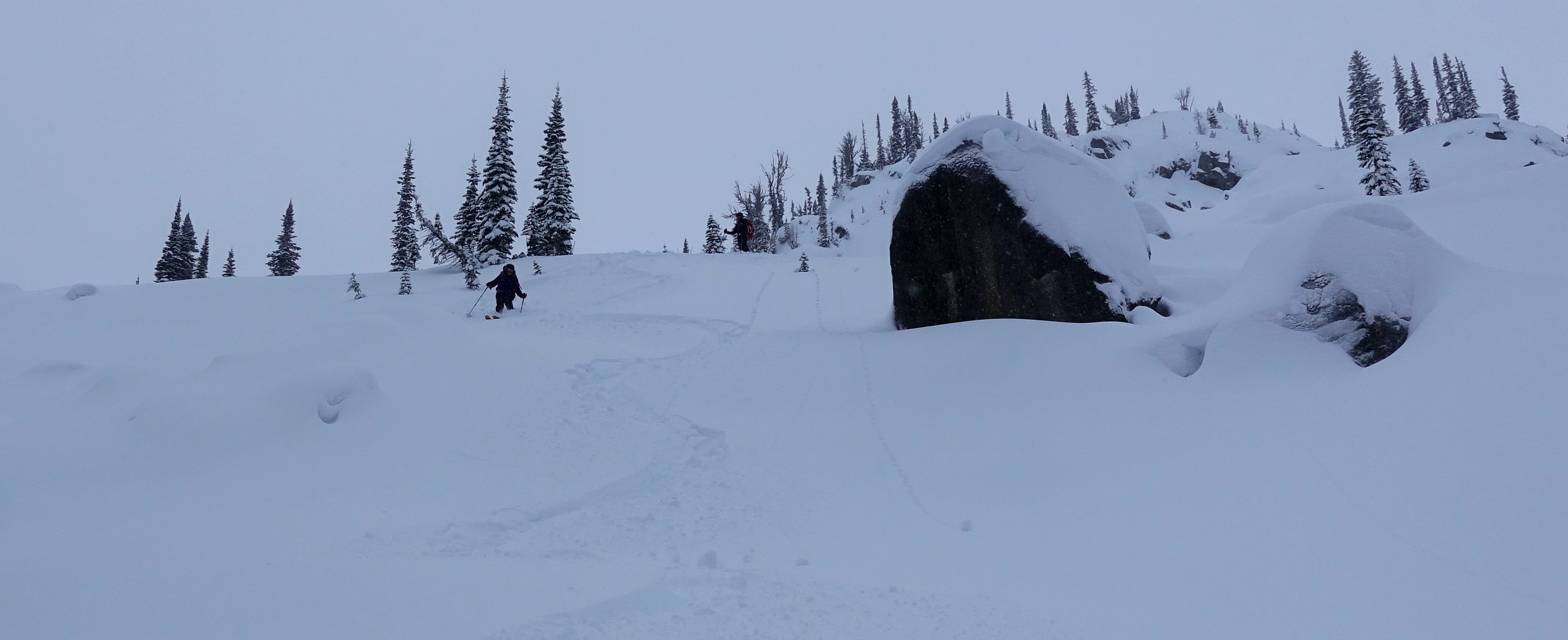
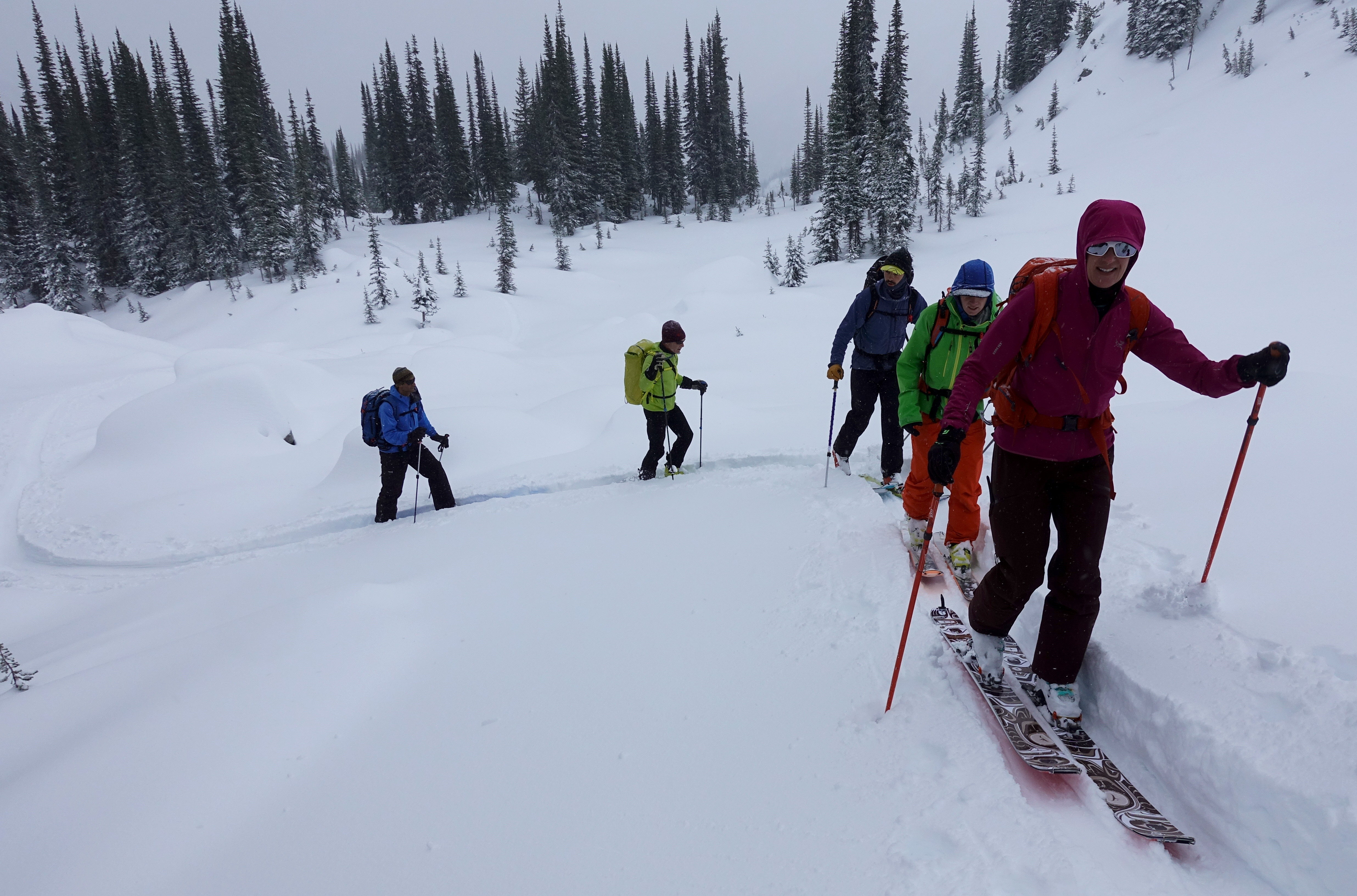
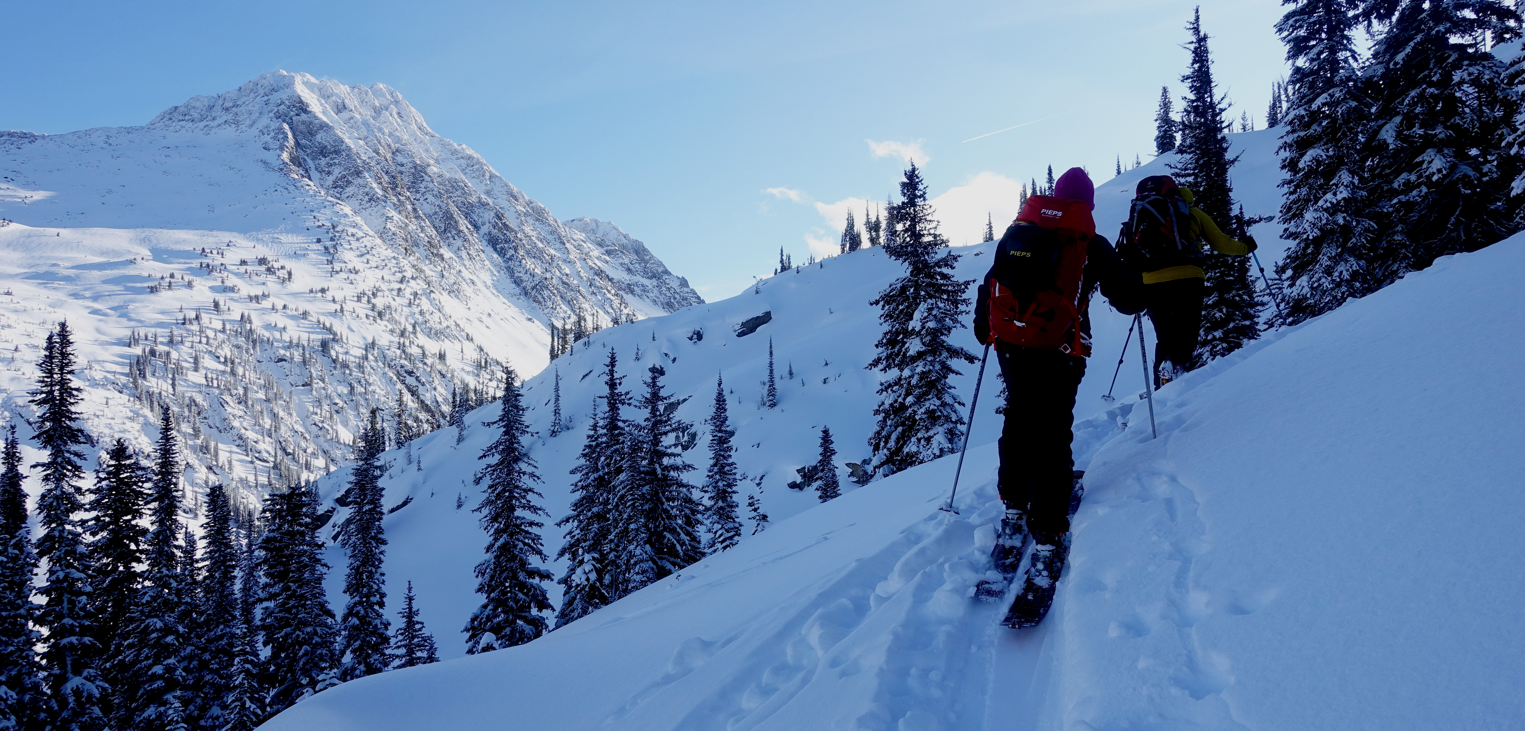
We just wrapped up a ski touring week at the Kokanee Glacier Chalet in the Southern Selkirk’s December 1-8, 2019.
We skied treeline and alpine terrain on all aspects between 1900m and 2750m, we did not ski below treeline. Overall, the ski conditions were good despite the below average start to the season. Weather conditions were generally unsettled as a series of week Pacific frontal systems tracked through the area from the Southwest. Temperatures were below average early in the week with daytime highs in the -14C range and above average as the week progressed with alpine highs in the -3C range. The area received between 35-40cm of new snow over 7 days accompanied with light to moderate ridge top winds from the Southwest most of the week.
The snowpack height at the Chalet (1950m) was just over 100cm when we left yesterday, the average height of snow at treeline was in the 120cm range. Probing on the Kokanee Glacier show varying snow depth from 70-170cm. The snowpack is complex and faceted, it will be interesting to see how it behaves with more loading in the future. As to be expected, we had to deal with many early season hazards (open creeks, boulders, sticks, etc.) and careful terrain selection was needed to maximize ski quality and safety. Traveling conditions were excellent despite the thinner snowpack, this is due to a very supportive mid pack covering most early season hazards at treeline and above. Ski penetration at treeline varied from 5 to 25cm. While we skied on all aspects, we favored planar northerly aspects in the 25 to 38 degree range with minimal ground roughness.
Avalanche wise, we saw evidence of a previous avalanche cycle from the last week of November however, we did not see any new natural avalanches during our stay. One skier-controlled size 1 slab avalanche was triggered while skiing steep north facing glades at 1980m, we suspect it went on the November 22 surface hoar layer. We had very few signs of instability while traveling in the terrain. We observed minor whumpfing along ridge tops and minor racking of the storm snow in lee areas.
Other than the early season hazards, our main concerns were the building storm slab down 25-30 cm and the persistent slab overlying the November 22 surface hoar layer down 35-50 cm. Both interfaces generally gave moderate to hard resistant shear results with the occasional sudden shear in isolated areas under the persistent slab. We felt the avalanche conditions and hazard was more in line with the Kootenay Boundary bulletin than the South Columbia bulletin. This was a great reminder that spatial variability & danger exceptions often exist specially when located near the line separating bulletin regions.
All in all, a great early season week of ski touring with awesome folks.
Be safe out there and have a fantastic start to the season!
David Lussier
ACMG/IFMGA
summitmountainguides.com


