ACMG Mountain Conditions Summary for the Rockies and Columbia Mountains June 20th, 2019
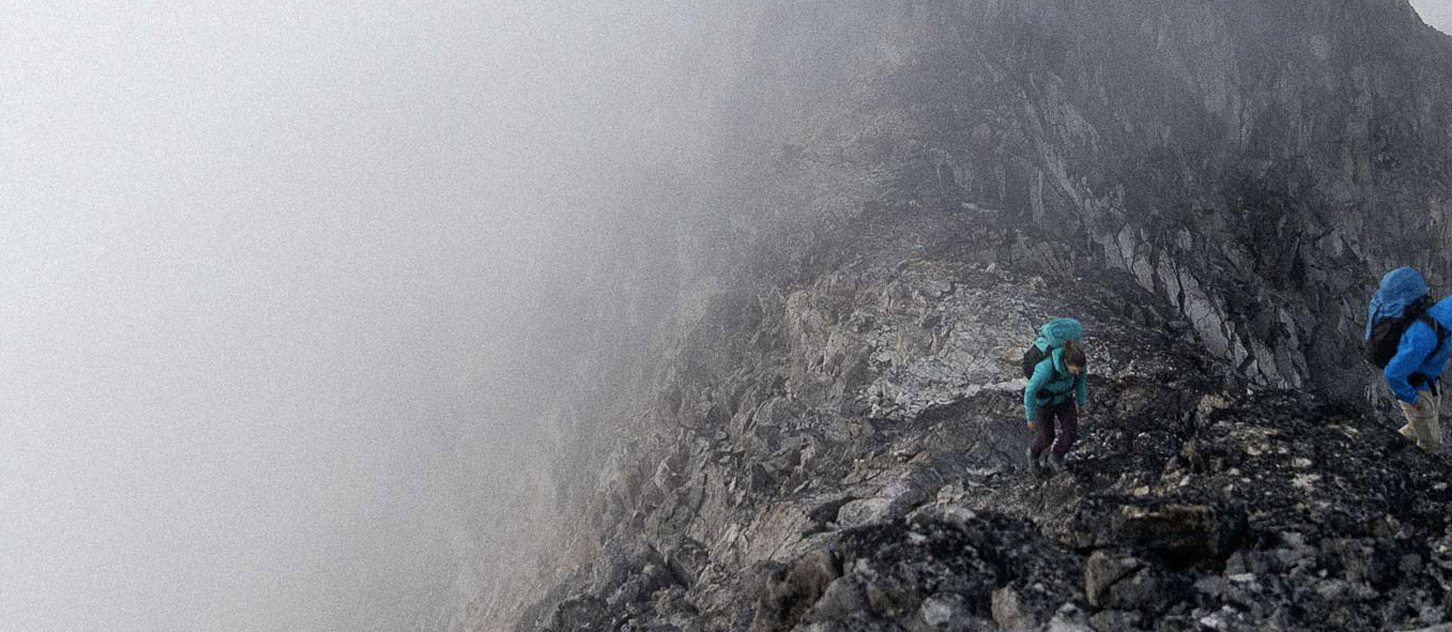
It looks to be a soggy Thursday night and Friday day in the Rockies but possibly staying a little drier in the Columbias. Observations from the Rockies near the divide currently show around 10-20 cm of recent snow above 2000m up by the Columbia Icefields and maybe 5-10 new snow at around 2100m around Lake Louise/Lake O'Hara. Assume much more than that above 3000m. The weather forecasts talk about "Snowfall Warnings" and numbers like "10-20mm of rain or 10cm of snow" in the Bow Valley and along the Icefields Parkway tonight and the same warnings and amounts forecasted again during the day Friday. Winds are currently from the N and NW in the 20-50 km/hr range and unlikely to change a great deal except to maybe increase as the next storm comes through.
Then, the sun supposedly comes out for Saturday and possibly Sunday. Any guesses as to what I might say next?? Yes, all that new snow and rain and wind followed by a long sunny day or two is likely going to be a bit of a "wet mess"in the Rockies. Fresh windlslabs and cornices are going to build in lots of locations over the next 24-36 hrs and then probably be stressed by the radiation on the weekend. Certainly some serious rockfall concerns with triggering from the melt and wet loose avalanches.
Reports and forecasts from the Columbia Mountains look a tiny bit more optimistic. The Bugaboo Spires were briefly visible this afternoon and were not "plastered" in snow yet according to one observer. Rogers Pass currently sounds drier and the forecast is a little gentler than the Columbia Icefields. It doesnt really look like alpine rock in a T-shirt kinda conditions for this weeekend in the Columbias but "maybe" you could get a little higher there without running into avalanche considerations. Emphasis on "maybe".
Rivers are high with lots of flotsam and ticks and bears are out but Hey-It isnt smoky!!
Have a fine weekend!
Larry Stanier
ACMG Mountain Guide