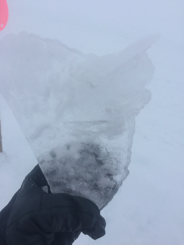
The last 7 days has been an interesting period of weather events, sometimes to the extreme, in the Perry/Gorge region west of Revelstoke. From some of the best skiing in the last few years on Jan 12 to winds creating widespread windslab in all exposed areas, including well into treeline and most of it disappearing within 24hrs due to extremely strong upper pack temperature gradients, and the return of good skiing. Then the warm weather hit and it was spring skiing at its finest with warm air aloft up to +8 air temp and strong radiation effects. The period has now switched back to precipitation with potentially significant amounts, freezing levels are forecasted to stay elevated for the period, but low enough that skiing elevations should benefit and ski quality should recover.
On The Map
These observations and opinions are those of the person who submitted them. The ACMG and its members take no responsibility for errors, omissions, or lapses in continuity. Conditions differ greatly over time and space due to the variable nature of mountain weather and terrain. Application of this information provides no guarantee of increased safety. Do not use the Mountain Conditions Report as the sole factor in planning trips or making decisions in the field.

