An english version will follow
Expédition de trekking: examen final des 3e années en Tourisme d'aventure du Cégep de la Gaspésie et des Iles.
Météo changeante typique de l'automne Québecois.
Température entre 0 et 15 degrés Celsius.
Évenements de forts vents par moment.
La pluie a commencée à tomber de façon intermittente à partir de la nuit du 23 au 24.
Brouillard récurant rendant la navigation plus difficile et technique.
Conditions des sentiers:
-Détérioration suite aux événements de pluie: sols sensibles aux averses; devient bouetteux rapidement et très glissants par endroit.
-Beaucoup d'arbres obstruants les sentiers et les rendant acccidentés.
-L'état des sentiers devient très mauvais après quelques journées de pluie.
-Le sentier du Sud se termine au Lac Quitin et celui du Nord, au Lac du Glacier. Passé ces points, navigation nécessaire.
-Une carte des Monts Groulx suggérait un itinéraire qui ne s'est pas avéré le meilleur à suivre.
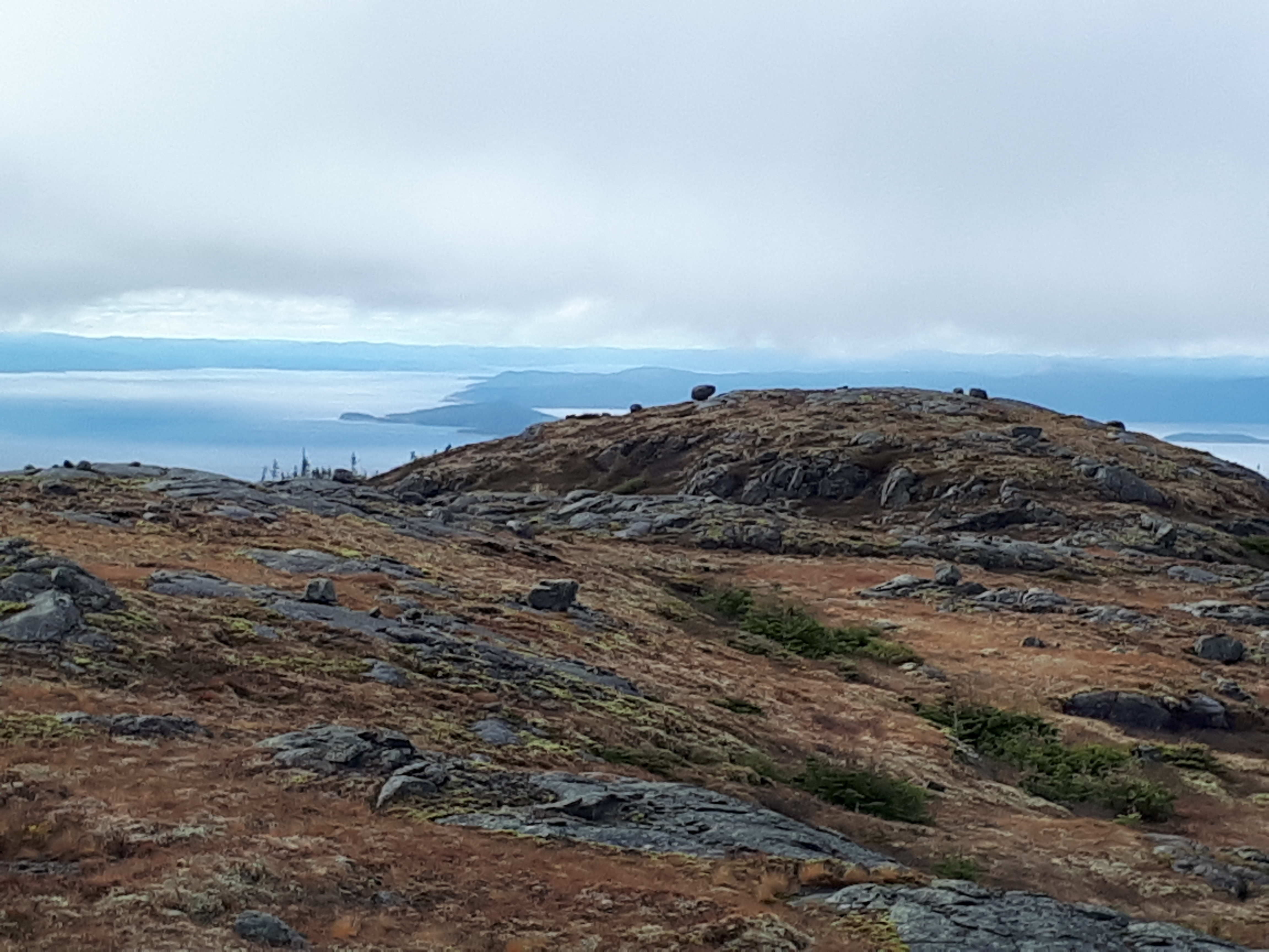
Conditions du territoire alpin:
-Sol humide et spongieux.
-Plusieurs lacs et ruisseaux non répertoriés dû aux nombreuses averses.
Obstacles notables:
-Passage accidenté et escarpé au sud du Lac Magique. Possibilité de l'éviter en contournant à l'est ou à l'ouest.
Camping:
- Emplacement de camping abondants.
La difficulté majeure est de trouver des endroits secs. Viser les points surélevés tout en considérant de la protection aux intempéris.
Points d'eau abondants.
Notes:
- Bien choisir son passage sous la limite des arbres entre plateau du Mont Jumelle et du Mont Jaunfret.
- Navigation technique sur les plateaux lors de visibilté réduite à nulle.
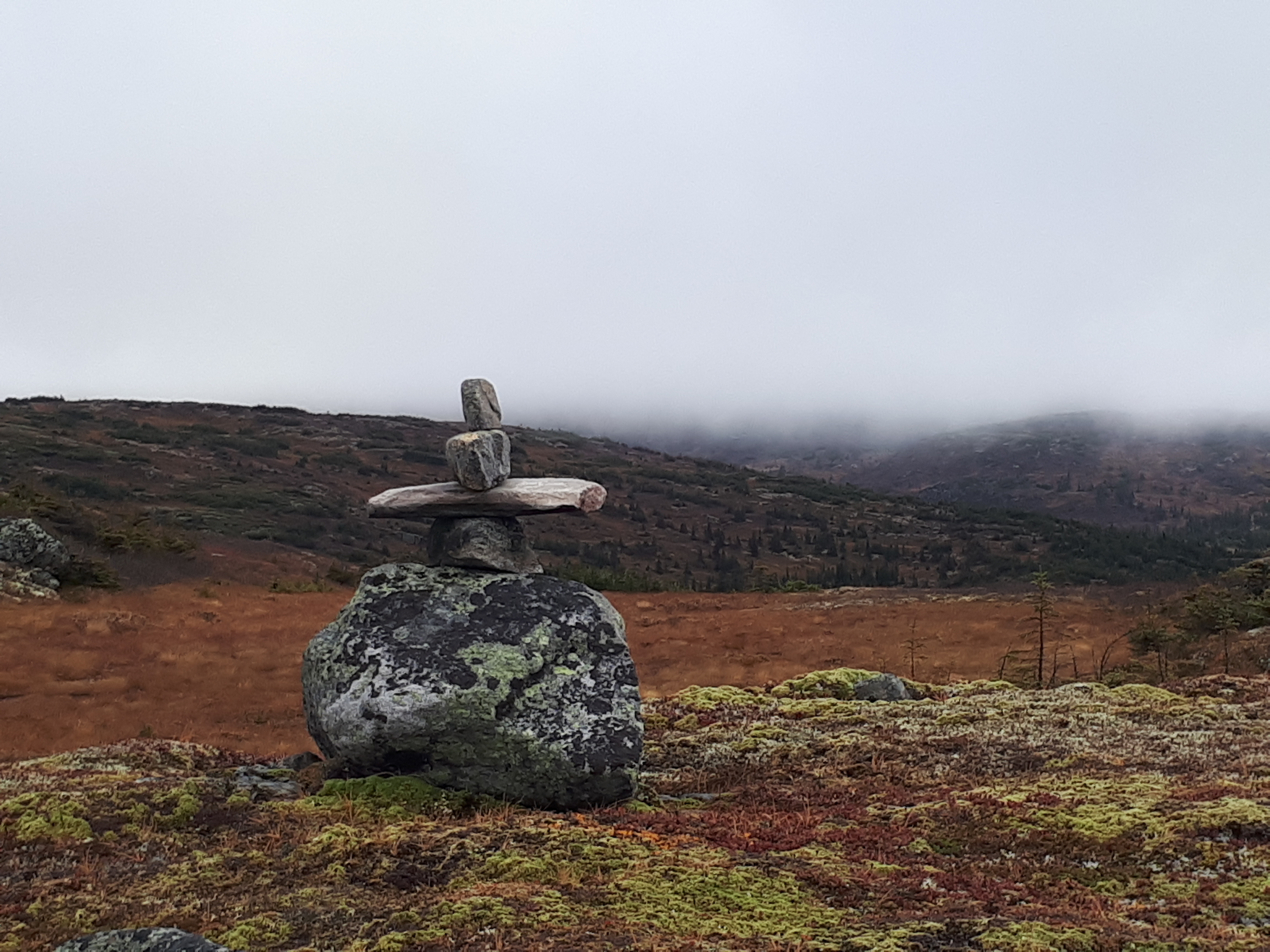
- Terrain et topographie subtile; points de repères peu évidents.
Le Québec à sont plus sauvage!
Bon trip dans les Groulx!
Out with Adventure tourism students from Cégep de la Gaspésie et des Iles in the Monts Groulx on a 5 days backpacking trip for their final trekking exam.
Weather pattern was typical to Quebec's automn.
Temperature ranged from 0 to 15 degree Celsius.
High winds events throughout the trip.
Rain was falling intermittently as of the night of 23rd to 24th.
Visibility ranged from very good to poor on the last three days.
Trails conditions:
- Got very wet, muddy and very slippery as the rain kept falling. Many sections were completely under water.
- Many fallen trees are blocking the way.
- The trail coming from the South ends at Lac Quintin and at Lac du Glacier for the one from the North.
Alpine conditions:
- As of the end of the trails, expect variable terrain conditions and make sure to be confident with navigation skills.
- Very swampy ground. Wear proper footwear.
- Many ponds and streams not shown on map.
Notable hazards:
- Precarious and steep face on the south side of Lac Magique. Proper routefinding needed or can be avoided walking around further out east or west. Use extra caution when wet.
Camping:
- Camping spots are everywhere with easy access to water. Hard or even impossible to find dry ground to set camp.
Aim for higher but sheltered ground.
Notes:
- Proper routefinding below treeline from plateau of Mont Jumelle to plateau of Mount Jaunfret will save you a lot a work. Easier bushwacking going slightly north from Lac Chicoutai.
- Technical and extensive navigation with map and compass in alpine terrain when visibility is poor.
- Very subtle topography. Landmarks can be hard to find.
As wild as it gets in Quebec!!!
Enjoy the Groulx!