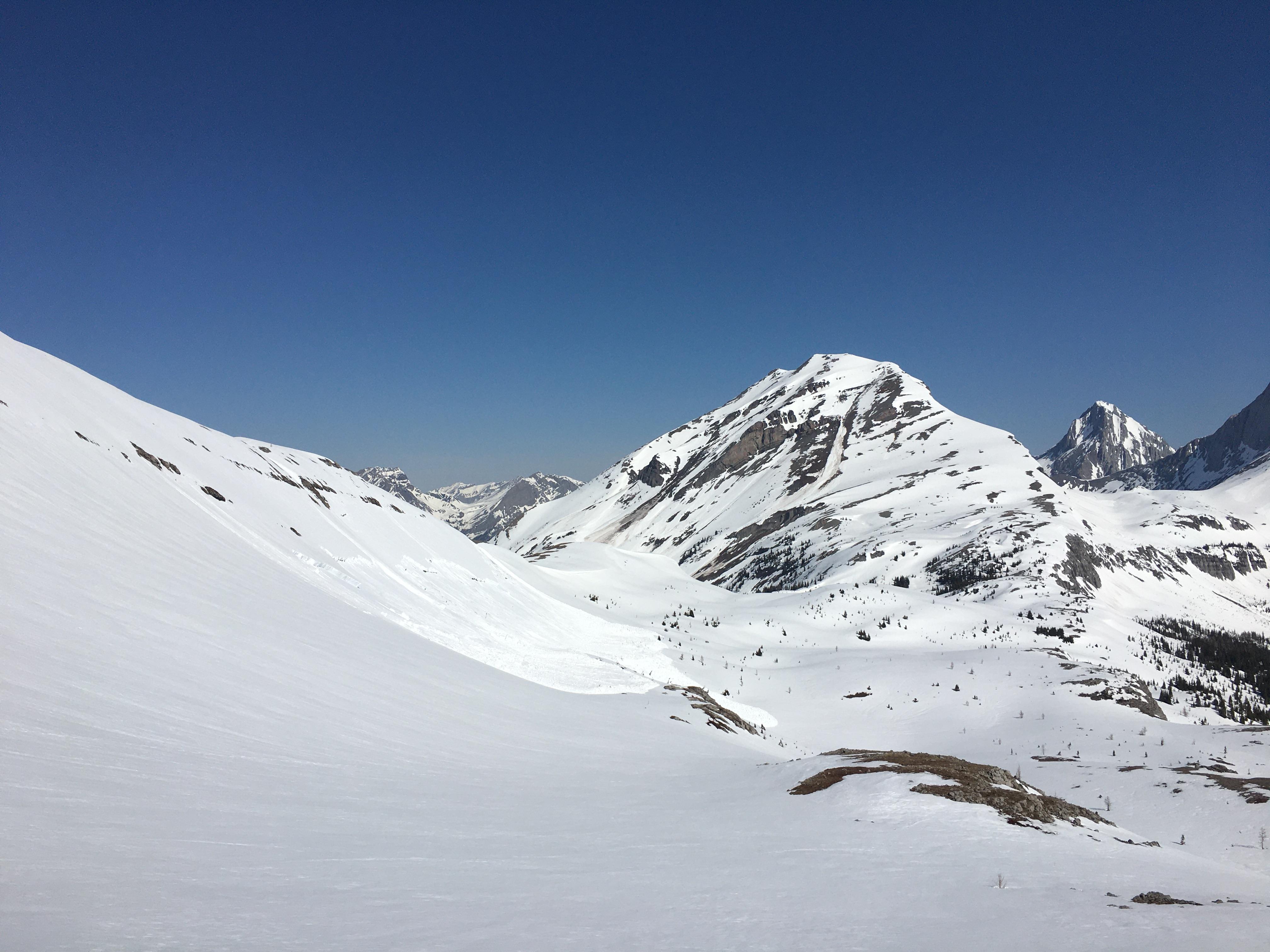
Went for a walk up to Burstall pass today (May 3rd). Despite the warm overnight temperatures, the clear skies allowed allowed enough radiant cooling to from a supportive overnight crust in open / low angle terrain. This was breaking down on low angle East aspects by 10am which made for passable corn skiing, but quite variable with such a minor re-freeze. (Skate skiing on Burstall Lakes was enjoyable until 11am.)
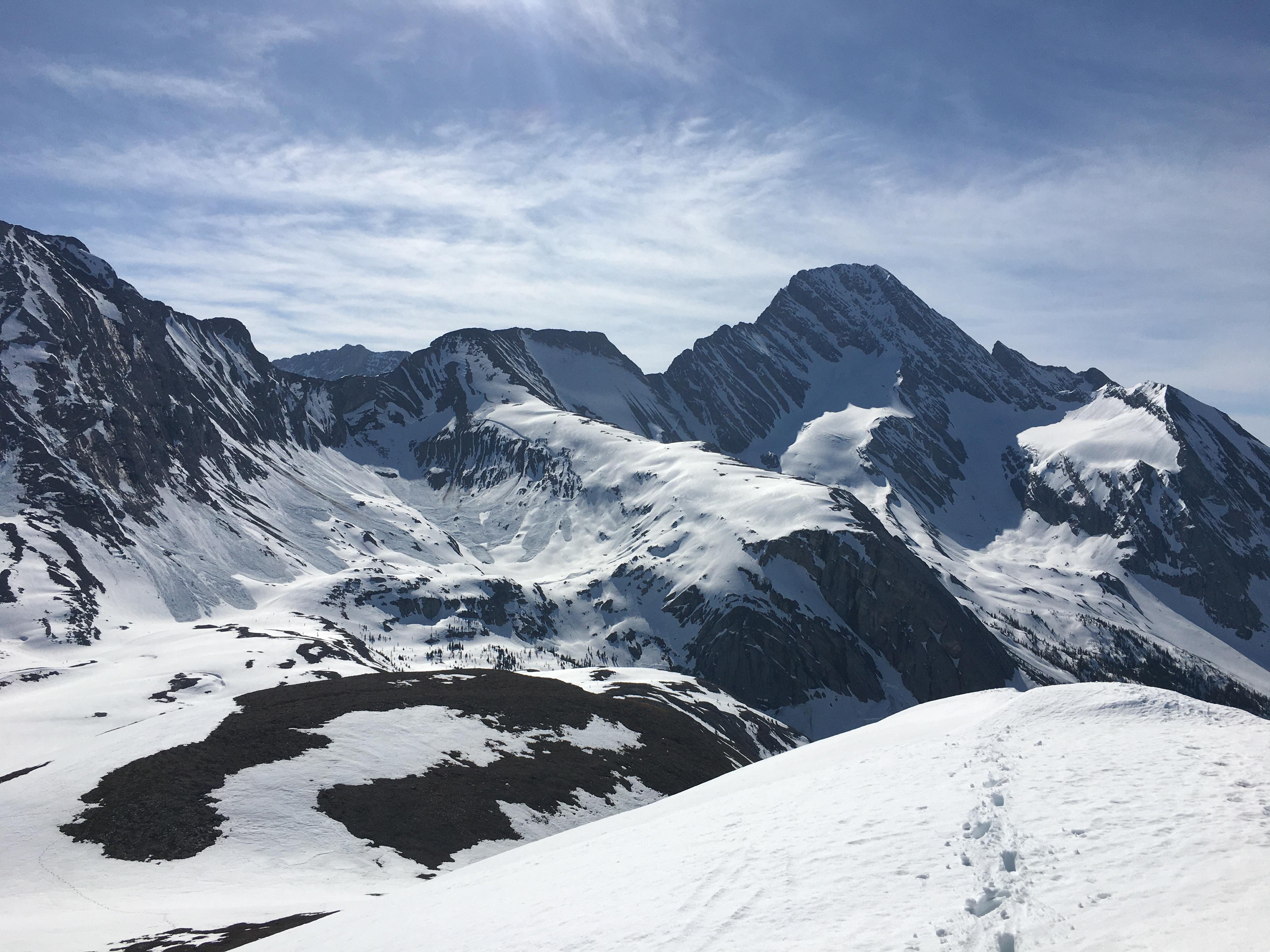
The most notable observation from today is that I was able to remotely trigger a size 2.5 avalanche from 200m away while skinning up the supportive morning crust. The avalanche occurred on the steep east slopes of Burstall Pass Peak, propagated nearly 100m, and was over 1m deep. I also observed other large avalanches initiating on steep easterly terrain with the solar warming. One of these being the east slopes of Tent ridge which failed Size 3 sometime before 1130am.
In summary I found the public avalanche forecasts to be accurate, and the avalanche conditions to be dangerous. Even after nearly a week of warmth and sun we can still observe large natural and skier triggered avalanches on the basal facet layer. I stuck to non avalanche terrain and eliminated any connectivity to overhead hazard.
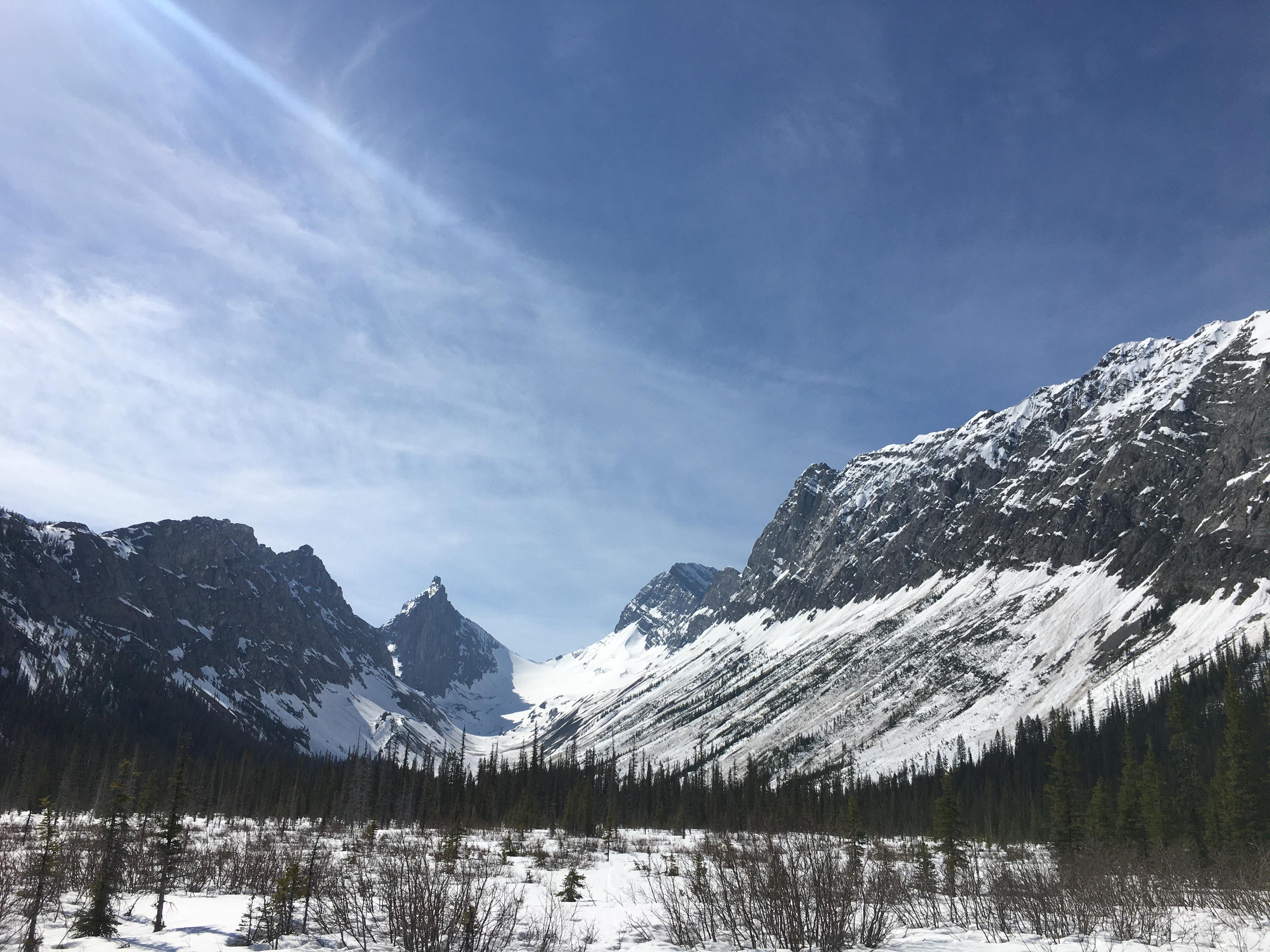
A quick drive through Kananaskis makes instantly clear that there is an on-going large avalanche cycle. Until we see a significant cooling I will treat any slopes that haven’t already avalanched or fully melted out to be very suspect and dangerous.