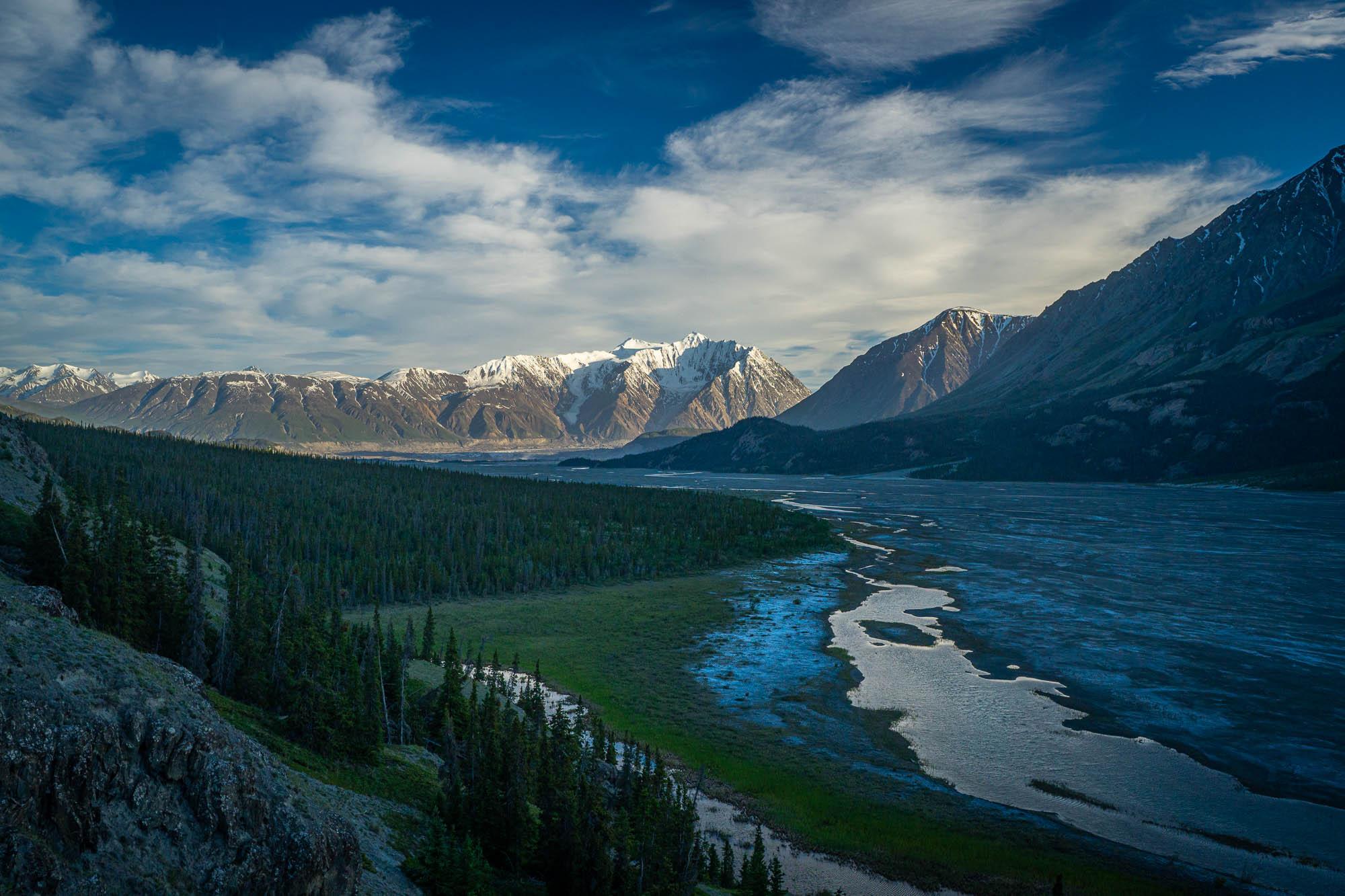
Spent three days exploring the Ä’äy Chù (Slim’s River) east route. We backpacked in, camped at the lake about 15km from the trailhead, and spent a day hiking towards the Kaskawulsh glacier. Here's a couple takeaways.
- The gate is closed, so you need to tag on another 30-40mins of hiking to the trailhead.
- We found the old trail to the main camping area at kilometre 15 to be the best way in. It's a little too wet and boggy to hike on the river. It's easy to lose the trail in the alluvial fans but the bushwacking is very easy going and you get back on the trail soon enough.
- Vulcan creek was an easy, shin to knee deep crossing.
- We had a positive bear encounter about 10km into our hike. A large grizzly came out of the forest about 150-200m away from us and turned around as soon as it noticed us. Otherwise, no other bears except for grizzly prints everywhere!!!!
- From the small lake/camping area at KM15, you can hike along the riverbed all the way to the glacier. Really fast and enjoyable hiking.
We had consistent weather all weekend, with moderate to strong winds blowing down the valley and a mix of sun and clouds.