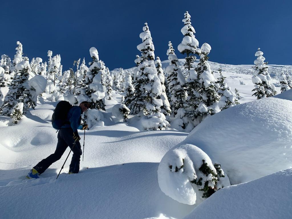
After yesterdays (Dec.4) trip I thought I would just send and update on surface conditions prior to our next storm which looks like it will arrive Monday or Tuesday. My observations have been limited to Treeline elevations as that is where I have found the best skiing lately :-)
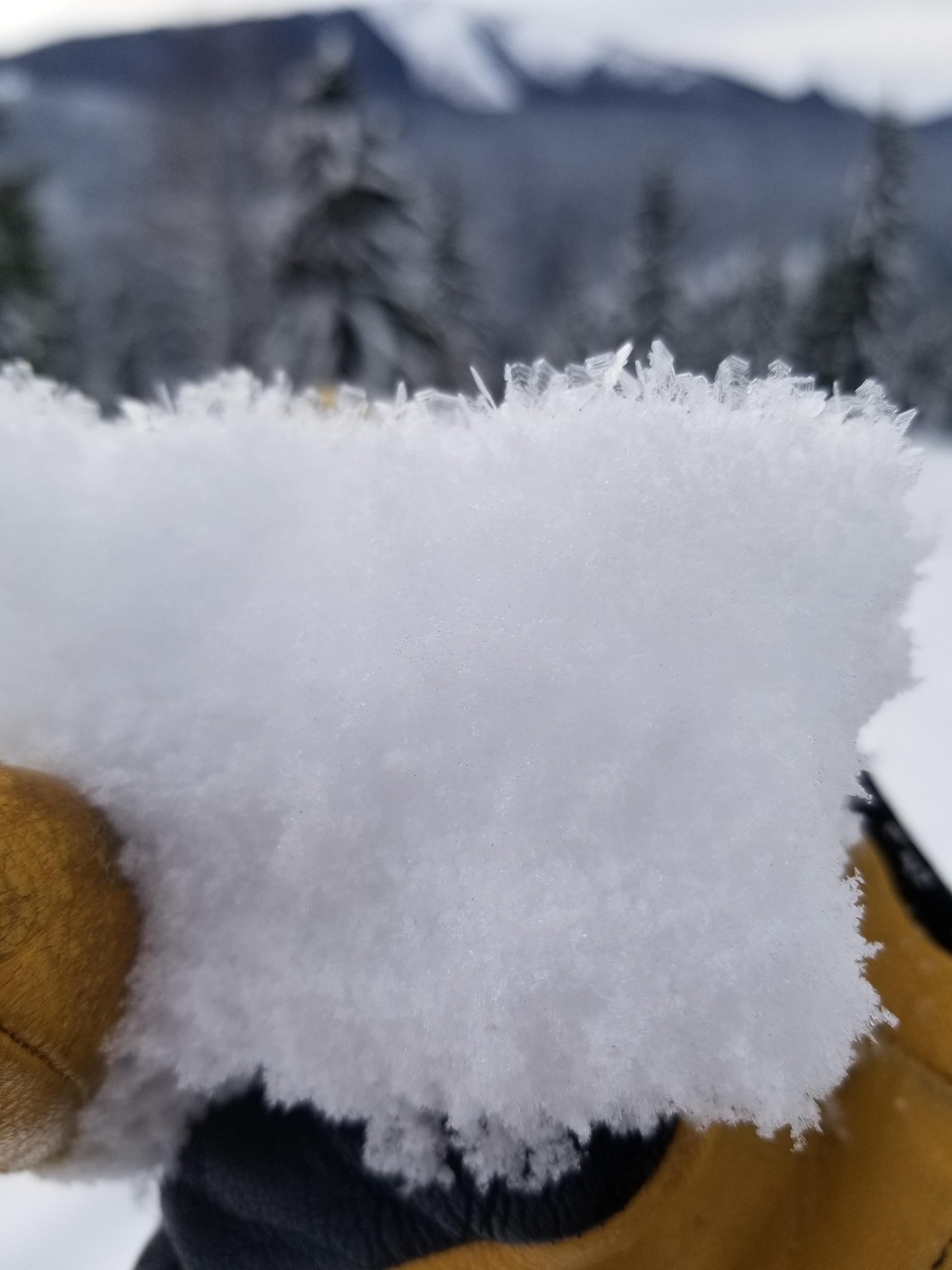
The two big things to keep in mind once the snow covers things up, is the presence of fairly developed SH in the 5-10mm range that exists on all aspects as high as I have been lately (2100m),and the fact that on the Southerly facing features this is sitting on top of the recent suncrust that has formed during the clear skies of the last 4 days.
Obviously not a concern currently but something to monitor as storm snow accumulates in the future.
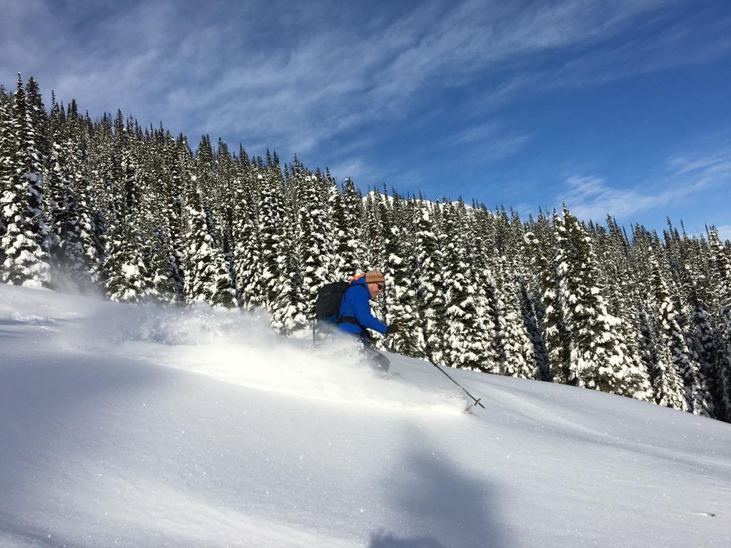
Currently ski quality that has not been affected by sun or wind (or hundreds of skiers) is smoooth and fast and not much in the way of recent avalanche activity other than solar triggered moist loose avalanches and even that activity has backed off at this point - enjoy while it lasts!