
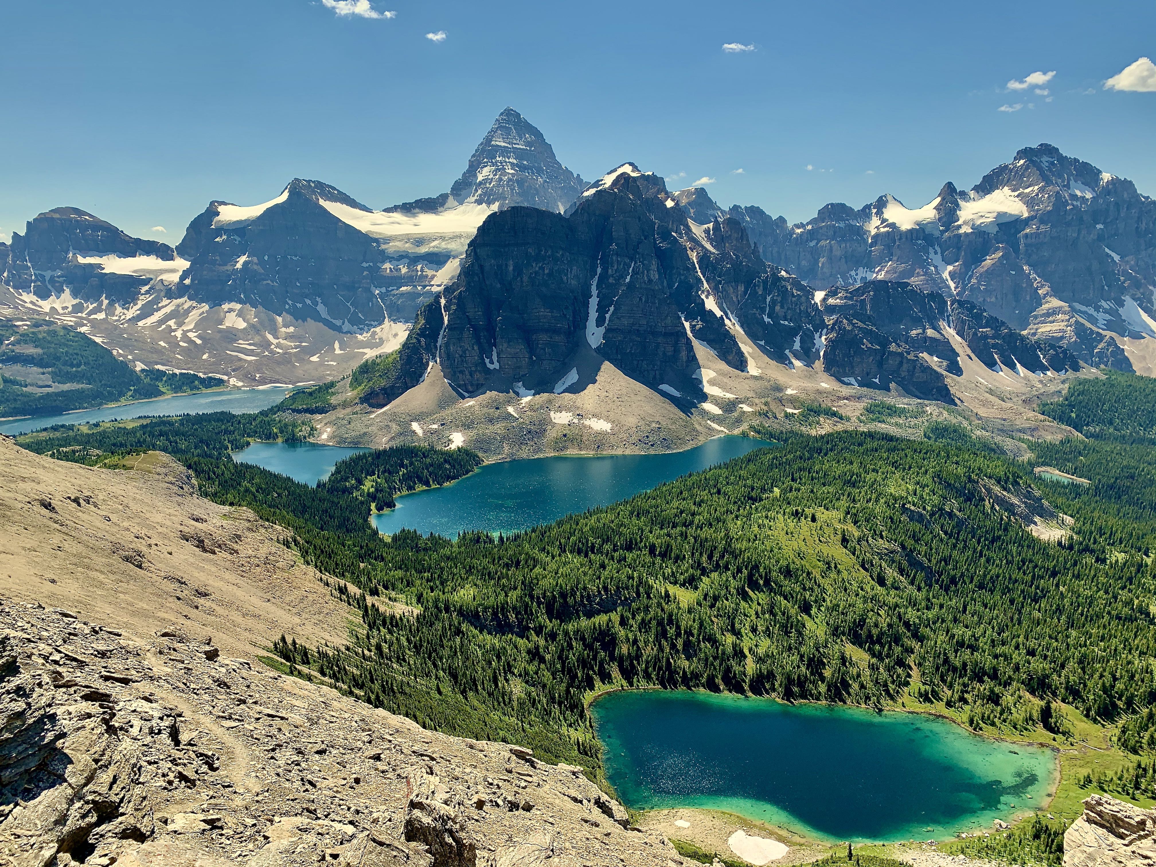
Was in the Assiniboine basin and area July 26-30. Trail in from Sunshine Meadows via Citadel Pass was in good shape, as were all of the main trails in the basin. Keep in mind if you are hiking in or out this way that you have to hike up the Sunshine ski area road because the gondola isn't open to the public this summer. The high pressure and warm weather lasted our whole trip, with daytime highs in the 26c-32c range and overnight lows not dipping below 10c at Magog Campground. The bugs in the area were heinous. We observed many instances of recent bear sign (diggings, prints, scat) over the course of the 5 days but had no encounters.
Also worth noting is that if you are relying on an app (like Gaia or similar) for route information, then you want to pair that information with other sources, like guide books, information put out by Parks or first-hand beta from other trail users. For example, the trail marked "Cautley to Wonder route" on the Gaia basemap looks like a very pleasant ridge walk on the east end of the basin, but the route up and over the summit of Wonder Peak and onto the south ridge of Mount Cautley is a difficult scramble (as would be classified in the Kane guidebook) with significant exposure to fall and rockfall hazard, at the very least requiring helmets. Something to keep in mind when route planning.
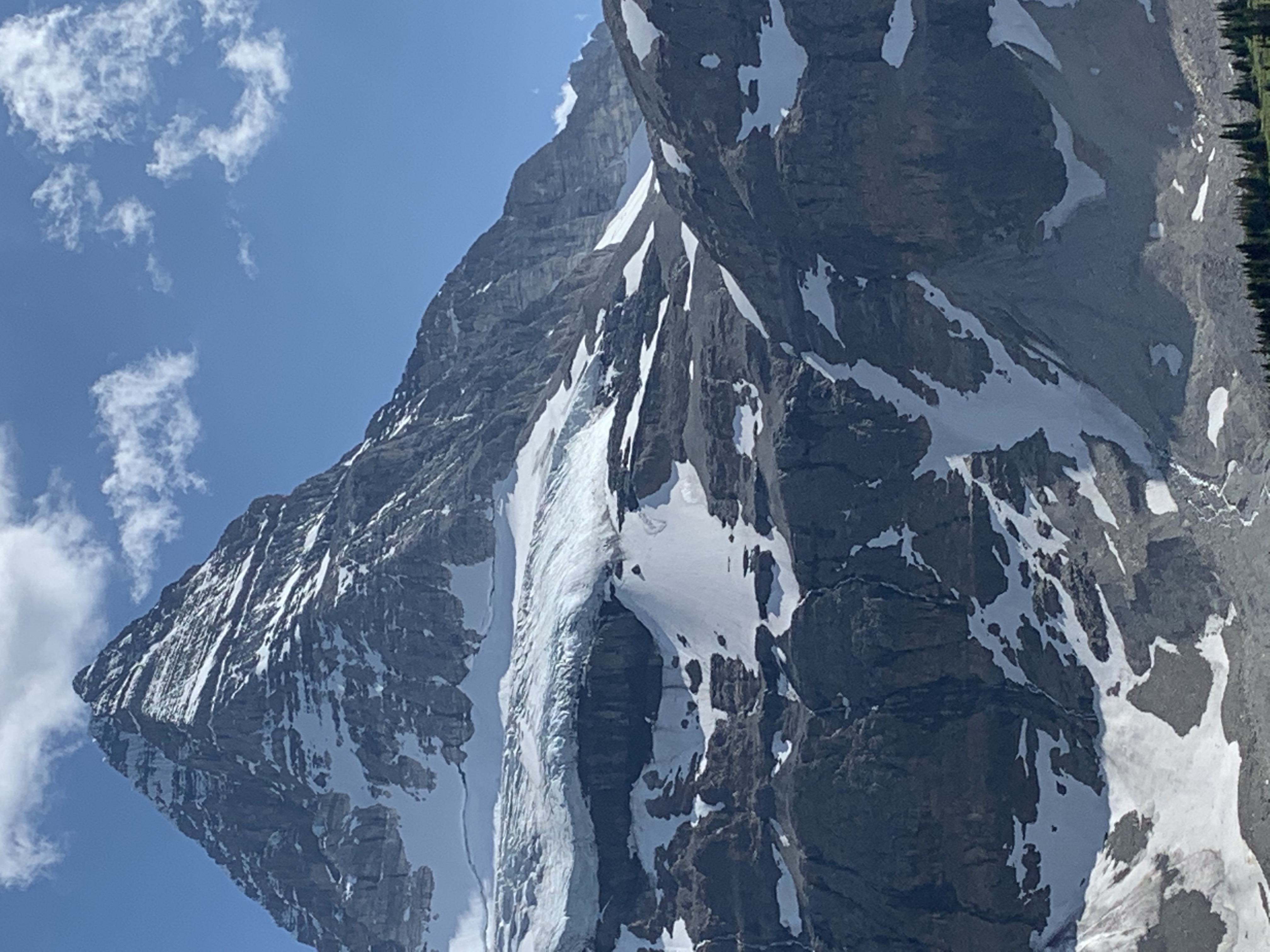
Lastly, even though the Hind Hut is closed, if you are thinking about heading for the summit of Mount Assiniboine this summer, I have attached a photo that was taken around dinner time on the 29th. There seemed to still be a lot of snow above the red band on the north face, and certainly on the east face. We observed a very large cornice failure off the east face summit ridge while eating lunch on the 28th and heard audible evidence of similar activity on a few other occasions (without visually observing) during our stay up there. Full disclosure: I have never climbed any of the routes on Assiniboine, I am only providing the pics as observations of snow cover.
On The Map
These observations and opinions are those of the person who submitted them. The ACMG and its members take no responsibility for errors, omissions, or lapses in continuity. Conditions differ greatly over time and space due to the variable nature of mountain weather and terrain. Application of this information provides no guarantee of increased safety. Do not use the Mountain Conditions Report as the sole factor in planning trips or making decisions in the field.