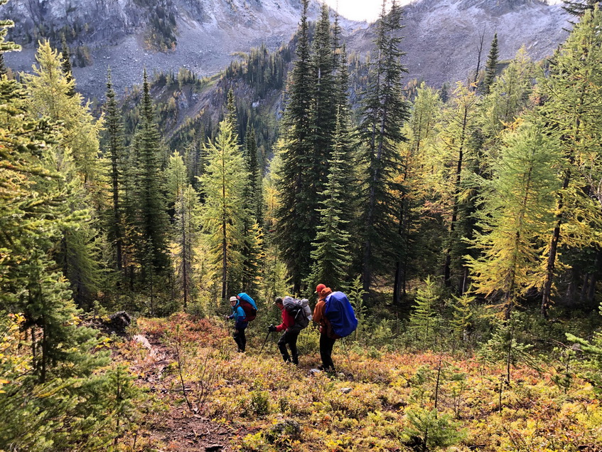
ACMG Hiking Guide exam completed a 4 day backpacking trip in the Forster Creek – Septet Creek area from Sept 15th to 18th. 2 groups started south at km 42 on Forster Creek; 2 groups started north at km 4.2 on Septet Creek Road. Route described here is South to North.
Day 1: Follow the logging road to first creek crossing. Follow Thunderwater Lake trail to below the obvious avalanche slope. Cross Forster Creek. Ascend to the col at GR 317131 and descend into McLean Lake camp over steep grass and boulders
Day 2: Descend McLean creek trail, cross Frances creek on bridge and head west following (overgrown) Frances creek trail to meet up with Septet Pass. Overgrown trail does exist up to Septet pass.
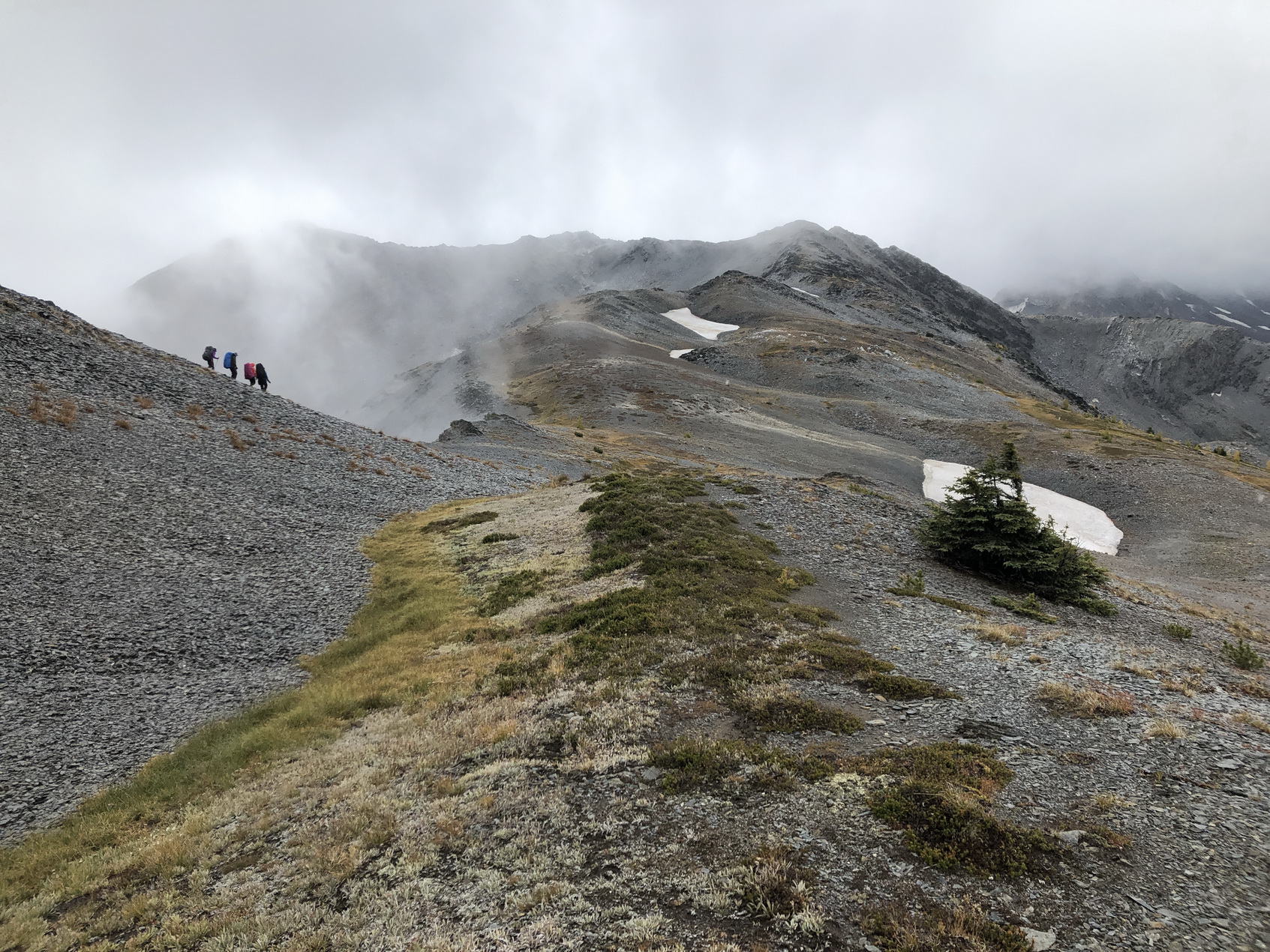
Day 3: Head west to gain Groovy ridge at GR 263177. Head north on ridge and descend to Pocket Lakes.
Day 4: Head over north ridge down to vehicles at Septet Creek Road.
The bushwhack down Septet ridge north of pocket lakes can be avoided by going up or down the Chalice ck trail.
Wx obs
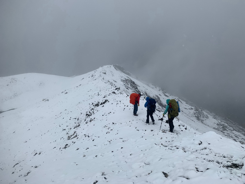
Rainy conditions were endured over the trip with some improvement last 2 days. Temps ranged from near +10 to +2. the snowline dropped near 2250m on the 17th, melting back to around above 2600m thereafter.
Conditions-Access
• Chalice creek trail was in good shape, but a bit bushy.
• Septet Pass to Frances Creek trail may be difficult to follow going down. The trail in Francis creek is submerged up to boot top deep for some sections just west of the bridge possibly due to beaver activity.
• McLean Lake has well used campground.
• Descent to Forester Creek from the north is steep but manageable in the slide path below access col
Notables
• Chalice creek and Forster creek FSR’s need high clearance vehicles, but in decent shape
• Signs of bear scat and fresh digs near Septet pass campsite. a black bear carcass in Forster creek was reported in the upper flat swampy area near the river crossing.
• Creek crossing on Forster creek was high but very manageable and the basin is very boggy
Intructors:
Helen Sovdat, Sylvia Forest, Peter Oxtoby, Peter Amann