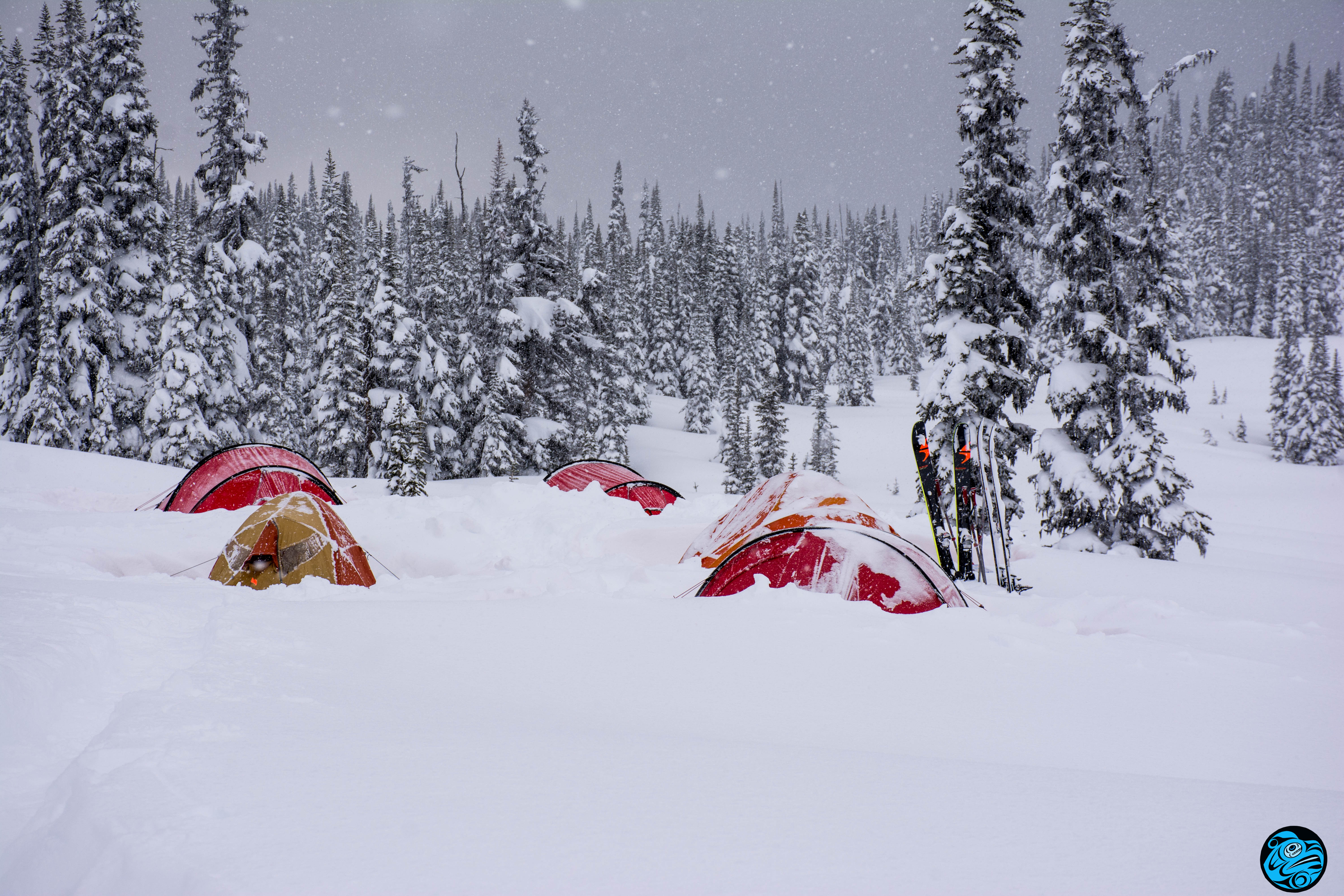
Spent 4 nights and 5 days basecamped in the mountains near Cassiope and Saxifrage in the Duffey Lake Road Area.
A tempest storm buried us with over 70cm plus wind transport over 48 hours. Freezing level was roughly at 1600m and the snowpack averaged at 250 at 1800m by the end with settlement.
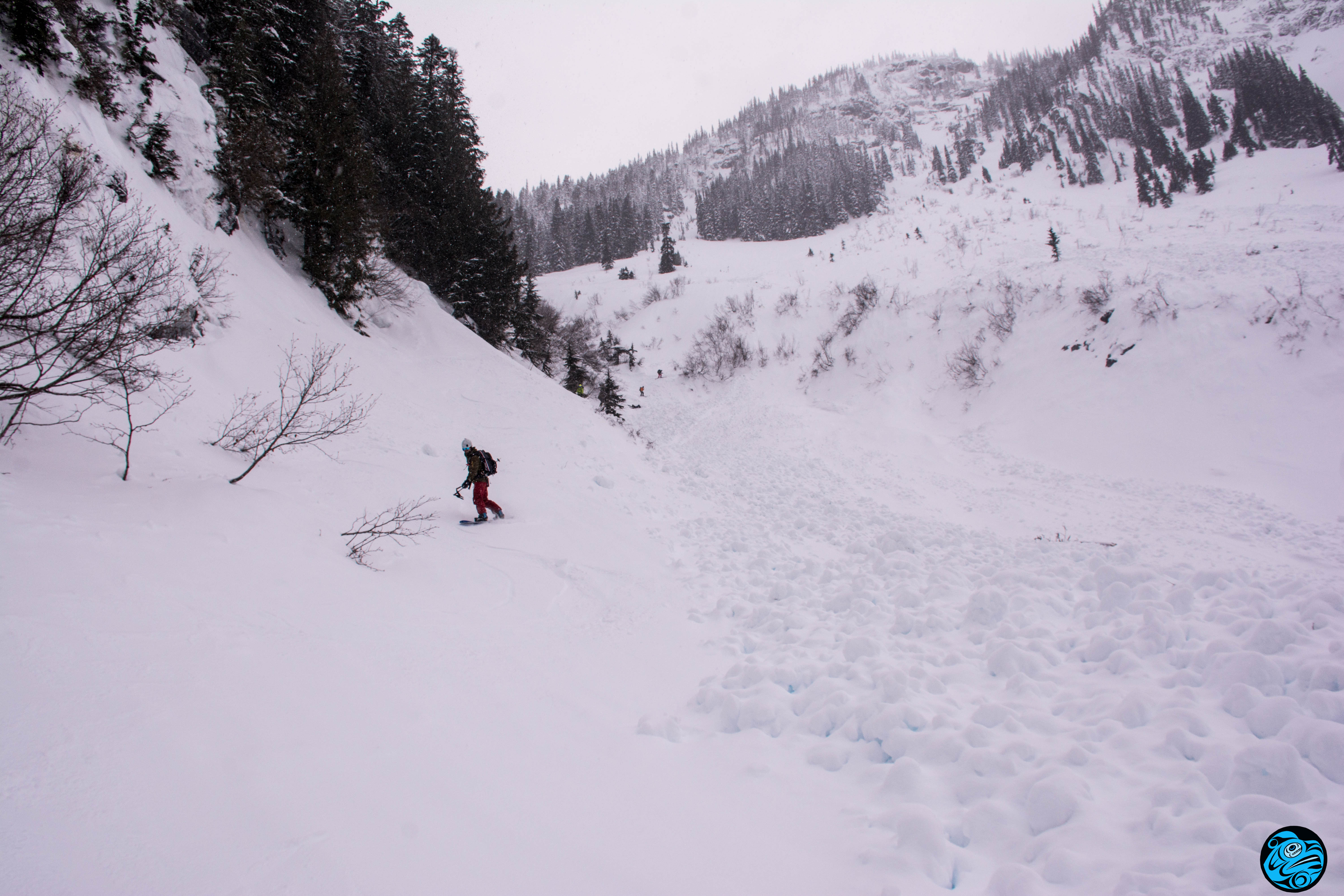
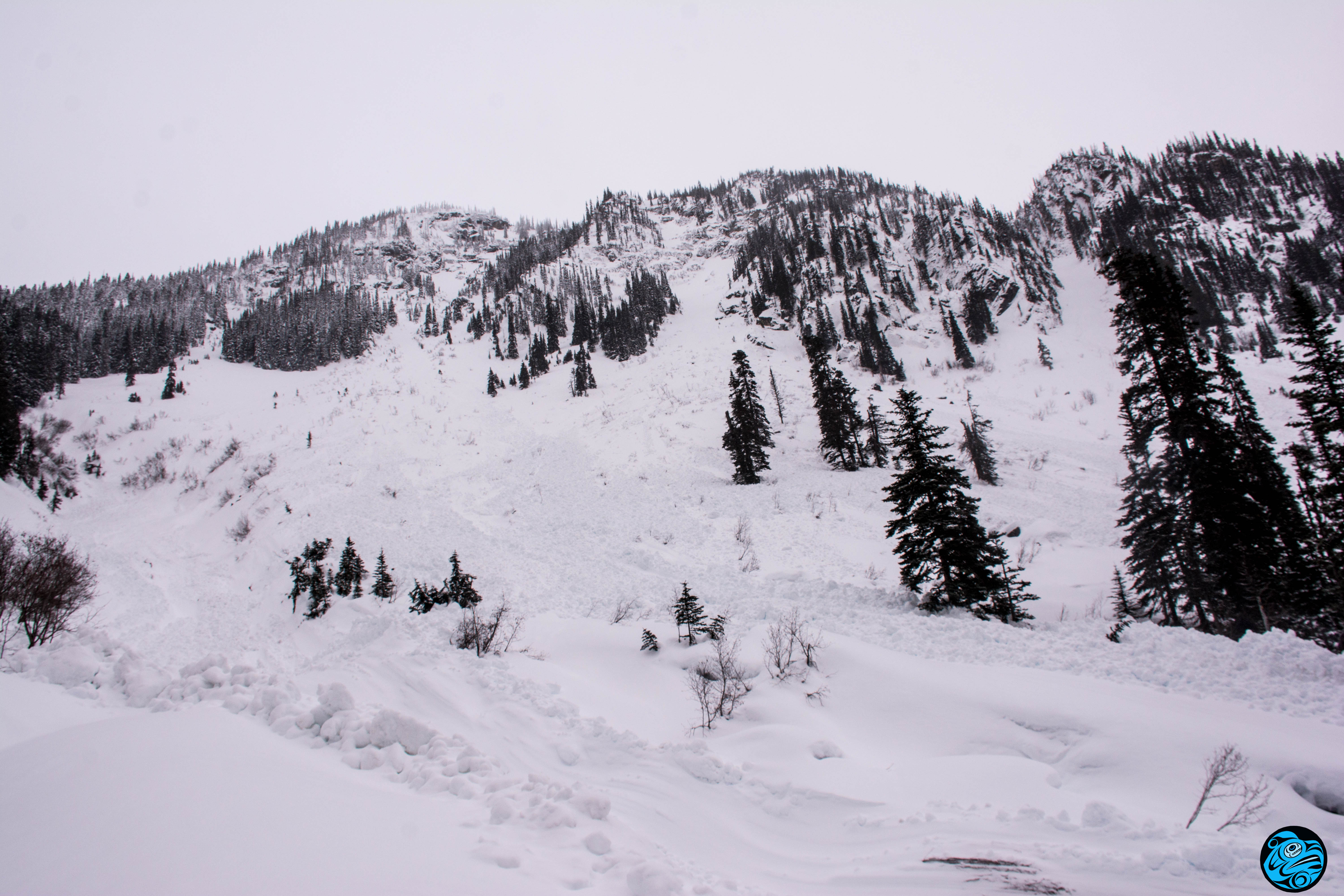
Storm slab activity could be heard from camp. With wind loading crown lines were up to 1m deep at ridgecrest above camp. The avalanches were suspected to be 2-2.5 but the deposits and most of the crown lines were buried before we could get clear visibility.
Later in the trip we managed to see more terrain and more evidence of the widespread cycle showed a number of avalanches to size 2.5 where wind loading was present. The storm came in warm and the bond with cooling temps have largely improved within the storm snow.
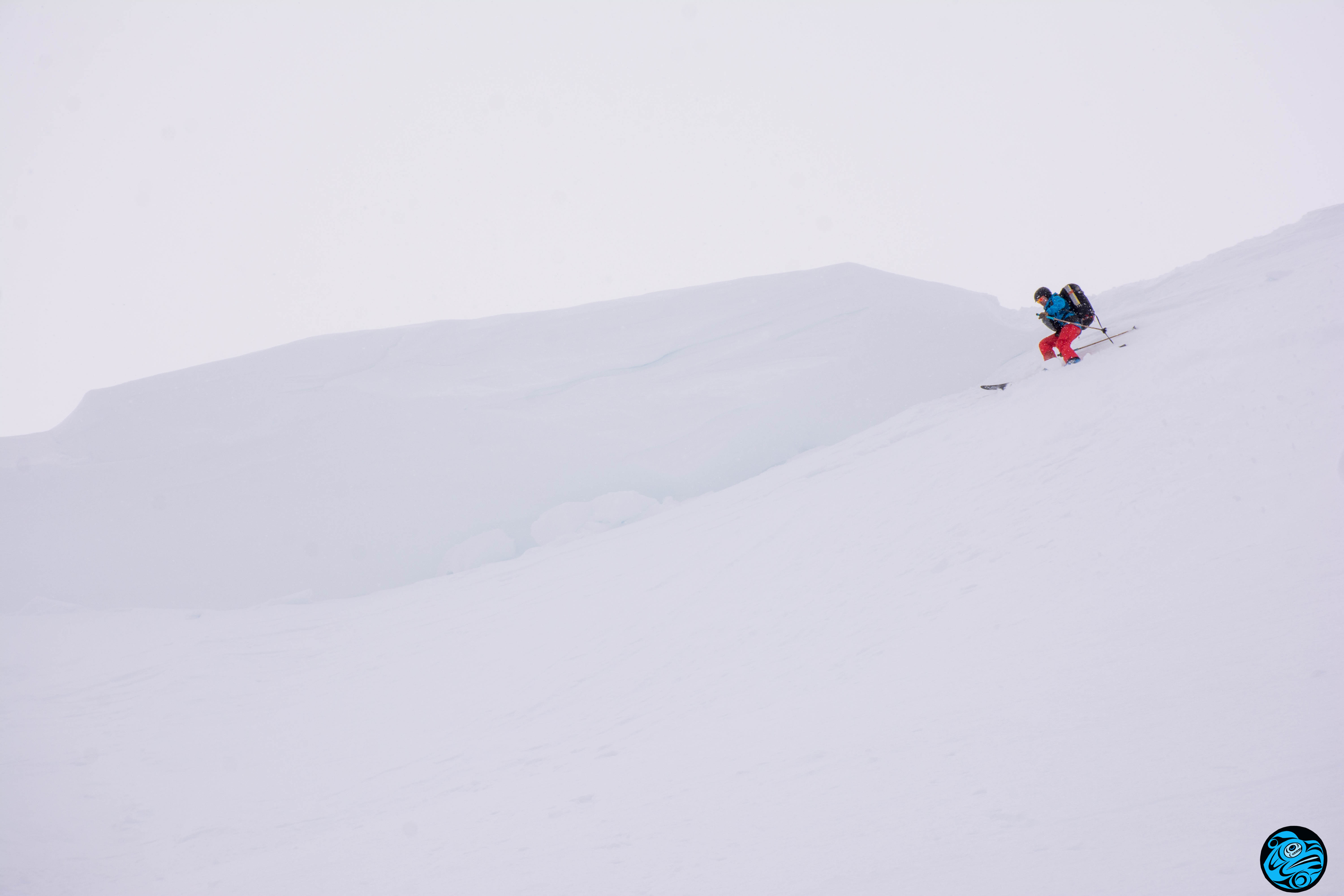
On the 31st we managed to get into the alpine and into lee north facing terrain. Large cornices have freshly formed and collapsed in places. One such collapsed cornice triggered a recent size 2.5 and numerous size 2-3.5 from the storm cycle were evident on convex or wind loaded features. We experienced no surface instability at this point but remained conservative with terrain selection.
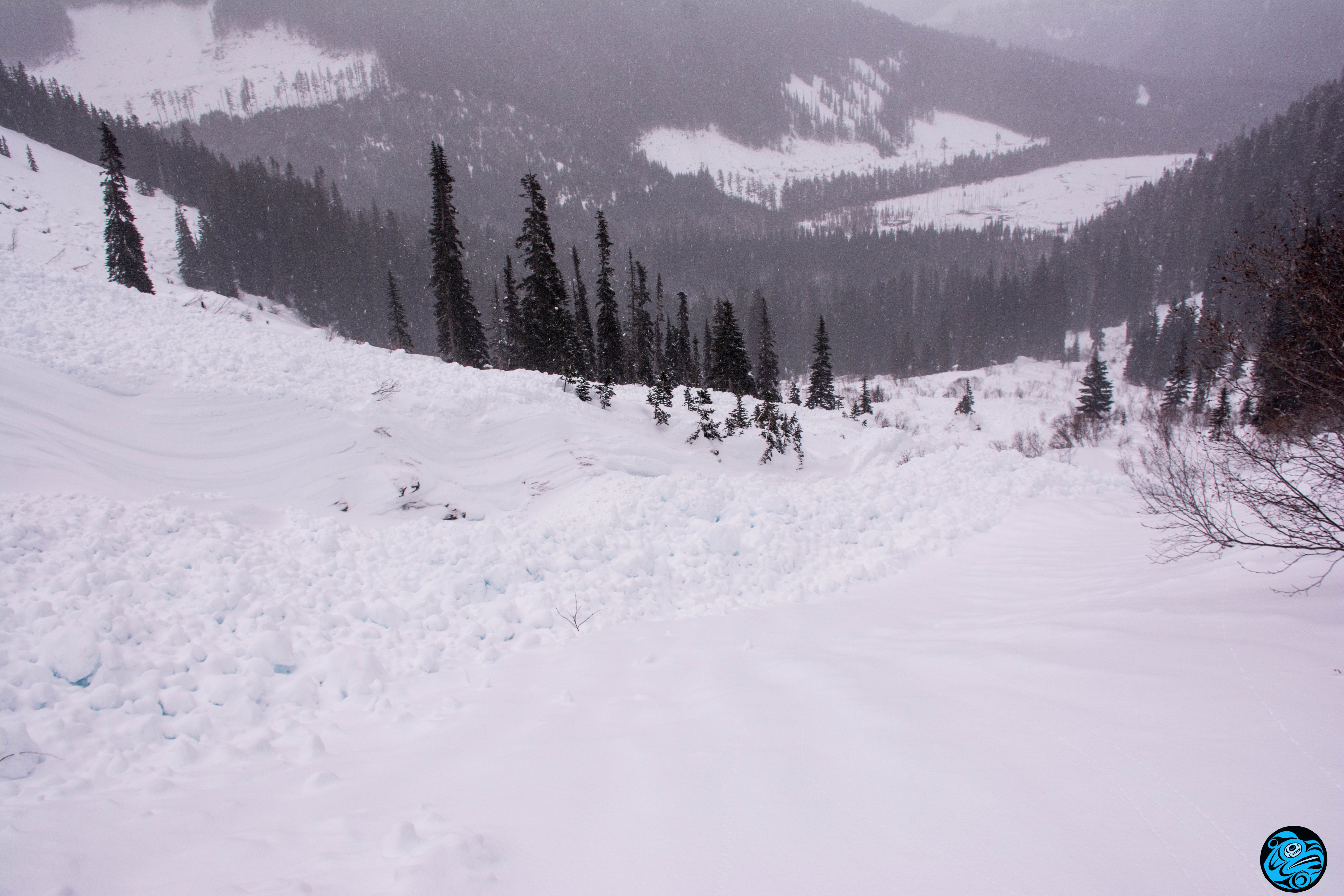
In lower elevations, a large loose wet cycle seemed prominent with one such area producing numerous size 2 and a few size 3 loose wet avalanches that traveled low into the valley. Cooler temps have now locked the snow at these elevations.
Windward ridges remain scoured or wind-pressed from the strong storm and surface instabilities appear to have stabilized but we made no observations on deeper layers such as the early January crust and these remain a "?" with the large load now sitting on these layers.
Great skiing remains in areas not scoured by wind above 1600m but worth being cautious with large unsupported features in thin to thick areas where the January crust might be prevalent. I would also caution around the fragile cornices and their ability to trigger a deeper slab.